What is recorded here
In undulating pasture, on a knoll on the lower N-facing slopes of Gullaba Hill. This standing stone (0.85m x 0.65m at base; H 2.1m), which is pointed at the top, is rectangular in section and is orientated N-S. The surrounding area has been recently planted with trees. This is probably the 'pillar stone, about five feet [1.52m] high' which was recorded in this townland in the 1930s by Captain D. B. O'Connell (KAS). The stone is situated c. 70m E of adjoining enclosures (KE094-027----, KE094-027001-) and a hut site (KE094-027002-); a burnt spread (KE094-027003-) is c. 40m to the NW.
The above description is derived from the published 'Archaeological Inventory of County Kerry. Volume I: South-West Kerry' (Dublin: Stationery Office, 2009). In certain instances the entries have been revised and updated in the light of recent research.
Date of upload: 30 May 2011
Likely dating to the Neolithic or Early Bronze Age, this standing stone may have had ritual or territorial significance, possibly aligning with solar or lunar events given its north-south orientation. No specific folklore is recorded for the site.
The monument record does not grant public access. Check the route and ask the landowner before entering private land.
- What survives
- Recorded monument
Places near here
 Field system in Gurteen (glanarought By.)Field system · 637 yd
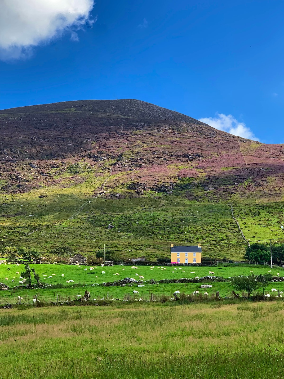 Gullaba HillMountain / peak · 1157 yd
 KnockbrackMountain / peak · 1.0 mi
 SheepfoldHut site · 1.1 mi
 Battle of Callannbattle · 1.7 mi
 Kilgarvan Motor MuseumMuseum · 1.7 mi
 Bridge in Inchimore (glanarought By., Kenmare Ed)Bridge · 2.0 mi
 OutlinedKiln, lime · 2.1 mi
 Castle (Site of)Castle, unclassified · 2.5 mi
 European YewEuropean Yew · 2.5 mi
 Great Southern & Western RailwayMemorial · 2.6 mi
 CaoinkeenCliff · 2.9 mi