What is recorded here
On a low rise in a flat low-lying landscape. An upright limestone slab (dims 1m N-S; 0.2m E-W; H 1.3m) rises through a rectangular grass-covered cairn (RO004-029002-) (dims 7.5m N-S; 7m E-W; H 0.1-0.5m) which has some whitethorn trees.
Compiled by: Michael Moore
Date of upload: 24 August 2010
Probably dates to the Neolithic or Bronze Age, given the presence of a cairn, suggesting a funerary or ritual context. Standing stones of this type may have marked territorial boundaries, served as memorials, or held symbolic significance in prehistoric belief systems.
The monument record does not grant public access. Check the route and ask the landowner before entering private land.
- What survives
- Recorded monument
Places near here
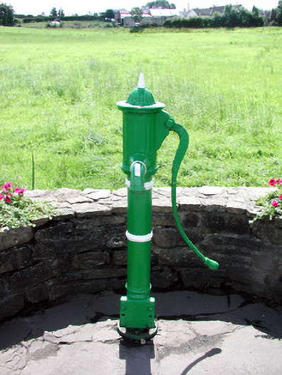 Historic buildingOfficially recorded historic building · 1220 yd
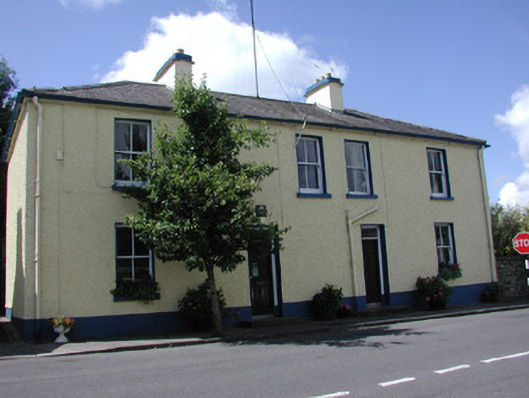 Keadew Garda Síochána Stationgarda station/constabulary barracks · 1382 yd
 Sweat House (Disused)Sweathouse · 1445 yd
 Turlough O'CarolanMemorial · 1475 yd
 Derreenargan WoodWood · 1597 yd
 IndicatedFairy fort / earthen ringfort · 1633 yd
 Loughend IslandIsland · 1.5 mi
 Knockranny WoodsForest · 1.9 mi
 Arigna Mining ExperienceMuseum · 2.1 mi
 Orchard IslandIsland · 2.2 mi
 Kilronan MountainMountain / peak · 2.3 mi
 Battle of Áth an Chipbattle · 3.8 mi