What is recorded here
Loughard Island is a crannog in Keadew West, County Roscommon, Ireland. It is a circular overgrown mound of earth and stones at the east end of Lough Meelagh, with timbers visible in the water to the west, north and east. Another crannog sits about one hundred metres to the northwest. A slipway built on the shore to the southeast in 2007 produced no related material.
At The E end of Lough Meelagh (dims c. 2km E-W; c. 600m-1km N-S), c. 110-130m from the N, E and S shores. Circular overgrown mound (diam. 22.5m N-S; 20.5m E-W; H c. 1m) of earth and stones with timbers visible in the surrounding waters to the W, N and E. Crannog (RO004-061----) is c. 100m to the NW. Monitoring of the construction of a slipway during 2007 on the shore c. 100m to the SE failed to produce any related material (Bangerter 2010).
See the attached view from the shore at SE.
Compiled by: Michael Moore
Date of upload: 24 August 2010
The monument record does not grant public access. Check the route and ask the landowner before entering private land.
- What survives
- Recorded monument
Places near here
 Loughend IslandIsland · 3 yd
 Knockranny WoodsForest · 226 yd
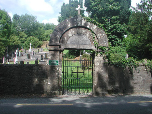 graveyard/cemeterygraveyard/cemetery · 411 yd
 AltarAltar · 487 yd
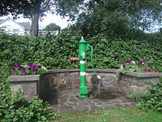 Nanny's WellOfficially recorded historic building · 589 yd
 Turlough O'CarolanMemorial · 1110 yd
 Sweat House (Disused)Sweathouse · 1147 yd
 Orchard IslandIsland · 1324 yd
 Clothesrock WoodWood · 1.1 mi
 Kilronan MountainMountain / peak · 1.5 mi
 Arigna Mining ExperienceMuseum · 2.0 mi
 Josie McDermott MemorialMemorial · 2.4 mi