
What is recorded here
Marked only on the 1914 ed. of the OS 6-inch map. Built into a field bank on the NE-facing slope of a drumlin above Keadew village and now conserved in the village park. Grass-covered mound (dims 4.7m NW-SE; 2.6m NE-SW; H 1.7m) containing a circular, drystone-built chamber (diam. 1.3m; H 1.5m) with vertical walls and a lintelled roof. The lintelled entrance (Wth 0.5-0.6m; H 0.7m) is at NE.
See the attached external view.
Compiled by: Michael Moore
Date of upload: 24 August 2010
The monument record does not grant public access. Check the route and ask the landowner before entering private land.
- What survives
- Recorded monument
Places near here
 Turlough O'CarolanMemorial · 47 yd
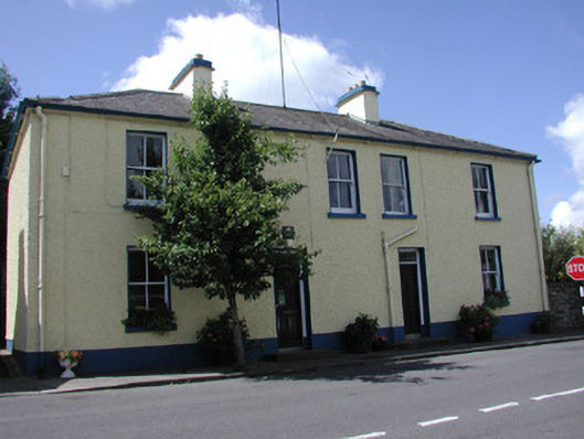 Keadew Garda Síochána Stationgarda station/constabulary barracks · 66 yd
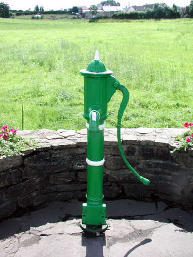 Historic buildingOfficially recorded historic building · 233 yd
 IndicatedFairy fort / earthen ringfort · 604 yd
 Loughend IslandIsland · 1144 yd
 Knockranny WoodsForest · 1208 yd
 AltarAltar · 1607 yd
 Orchard IslandIsland · 1.4 mi
 Derreenargan WoodWood · 1.7 mi
 Kilronan MountainMountain / peak · 1.8 mi
 Arigna Mining ExperienceMuseum · 2.0 mi
 Josie McDermott MemorialMemorial · 3.1 mi
Other information
Photo: Credit not shown in the picture search · Rights wording not checked; contact us if this picture should be removed