What is recorded here
On a shelf of a slight S-facing slope with a N-S stream immediately to the E. Oval grass and scrub-covered area (dims 33m E-W; 24.8m N-S) defined by an overgrown scarp (H 1m at N to 1.9m at E), with a fosse (Wth of top 6.5m; Wth of base 3.2m; int. D 0.75m; ext. D 0.4m) SW-NW which is continued by a berm (Wth 4m) SE-SW. There is no visible entrance. It remains unplanted in a forest (OSAP).
From the National Monuments Service (Archaeological Survey of Ireland) record RO004-026
The monument record does not grant public access. Check the route and ask the landowner before entering private land.
- What survives
- Recorded monument
Places near here
Photo credits
- National Inventory of Architectural Heritage
- Silversyrpher (very busy at the moment) from Scotland, UK, Wikimedia Commons · CC BY 2.0
- Doug Kerr from Albany, NY, United States, Wikimedia Commons · CC BY-SA 2.0
- RTG, Wikimedia Commons · CC BY-SA 4.0
- Unknown Weaver, English (active c. 1080), Wikimedia Commons · Public domain
- Suse, Geograph · CC BY-SA 2.0
- Oliver Dixon, Geograph · CC BY-SA 2.0
- Andreas F. Borchert, Wikimedia Commons · CC BY-SA 4.0
Sweat House (Disused)Sweathouse · 604 yd Keadew Garda Síochána StationGarda station/constabulary barracks · 631 ydTurlough O'CarolanMemorial · 638 ydHistoric buildingOfficially recorded historic building · 719 ydBristlecone Fir2.0 miWestern Hemlock2.0 miArigna Mining ExperienceMuseum · 2.3 miBattle of Áth an ChipBattle · 4.3 miShannon-Erne WaterwayVisitor information · 4.9 miCastle IslandIslet · 5.4 miHog's IslandIslet · 5.8 miLough AllenLarge freshwater lake · 5.9 mi
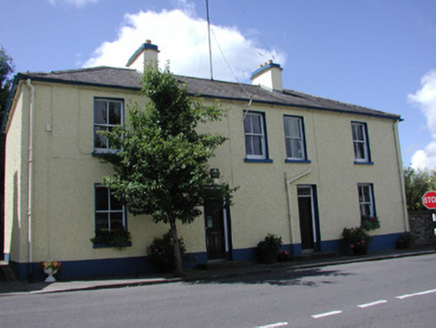 Keadew Garda Síochána StationGarda station/constabulary barracks · 631 ydTurlough O'CarolanMemorial · 638 yd
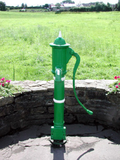 Historic buildingOfficially recorded historic building · 719 yd
 Bristlecone Fir2.0 mi
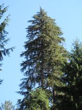 Western Hemlock2.0 mi
 Arigna Mining ExperienceMuseum · 2.3 mi
_-_WGA24165.jpg/250px-Tapestry_by_unknown_weaver_-_The_Bayeux_Tapestry_(detail)_-_WGA24165.jpg "Photo: Unknown Weaver, English (active c. 1080), Wikimedia Commons · Public domain") Battle of Áth an ChipBattle · 4.3 mi
Battle of Áth an ChipBattle · 4.3 mi Shannon-Erne WaterwayVisitor information · 4.9 mi
 Castle IslandIslet · 5.4 mi
 Hog's IslandIslet · 5.8 mi
 Lough AllenLarge freshwater lake · 5.9 mi
More archaeology and monuments in County Roscommon · All of County Roscommon
What do you know about this place?