What is recorded here
On a NW-facing slope, in pasture. Monument identified during ASI fieldwork. A limestone standing stone (0.4m x 0.3m; H 1.3m), rectangular in plan and orientated NE-SW. It tapers at the top to a point. The standing stone has a rough surface, except where it has been abraded by cattle and there is a depression around the base of the stone due to cattle erosion. An enclosure (TS059-126----) and a standing stone (TS059-160----) are located c. 110m to the S and c. 150m to the E respectively.
Compiled by: Jean Farrelly
Date of upload: 24 October 2013
Likely dating to the Bronze Age, this standing stone may have served as a territorial marker or had ceremonial significance. No inscriptions or carvings suggest a specific function, and local folklore or use is not recorded.
The monument record does not grant public access. Check the route and ask the landowner before entering private land.
- What survives
- Recorded monument
Places near here
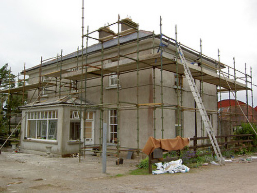 Greenrath Househouse · 431 yd
 Enclosure in Springfield (tipperary Par.)Enclosure · 653 yd
 Carron FortArchaeological place · 655 yd
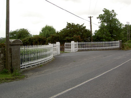 Kingswell Housegates/railings/walls · 1111 yd
 MoatCastle, motte and bailey · 1237 yd
 Mutton Pie HillCastle, motte · 1641 yd
 Soloheadbeg Ambush SiteMemorial · 1.3 mi
 It's a long way to TippereryHeritage attraction · 1.4 mi
 The Maid of ErinMemorial · 1.4 mi
 Soloheadbeg Ambushambush · 1.9 mi
 European ashEuropean ash · 3.0 mi
 The RockViewpoint · 3.8 mi