What is recorded here
Standing stones marked the edges of thought before ink existed. The claimant may have stood there, watched the field turn, and gone home. That is not nothing. It is not a pile of rocks, and it is not an empty claim. It is a memory that lost its shape. What is left is not deception. What is left is the difference between knowing and claiming to know.
In pastureland, c. 200m to the ESE of Grange House. Indicated and named 'Standing Stone' in Roman script only on the 1838 edition of the OS 6-inch map. No visible surface trace survives; on inspection a silage pit occupied the site.
Compiled by: Galway Archaeological Survey, UCG
Date of upload: 17 December 2019
The monument record does not grant public access. Check the route and ask the landowner before entering private land.
- What survives
- Recorded monument
Places near here
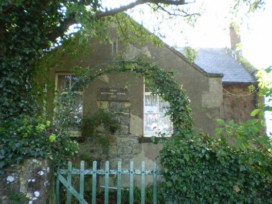 Fahy National Schoolschool · 1024 yd
 Moorfield Househouse · 1272 yd
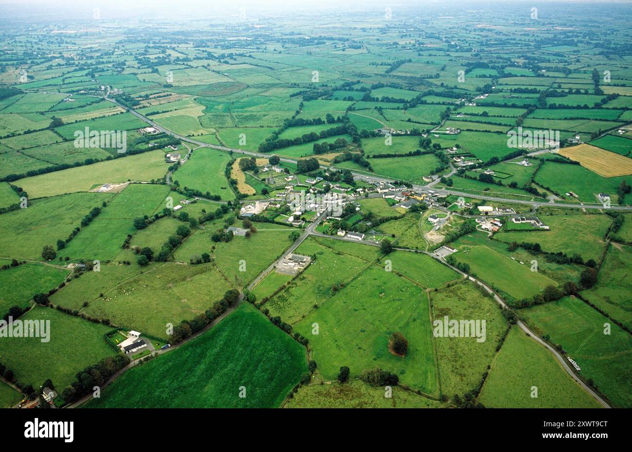 ToberrosHoly well · 1.1 mi
 LisnapeakFairy fort / earthen ringfort · 1.6 mi
 Longford Castle (in ruins)Castle, unclassified · 1.6 mi
 Ballymacegan IslandIsland · 2.8 mi
 Redmond HillMountain / peak · 3.2 mi
 Silver FirSilver Fir · 3.4 mi
 Ballymore CastleCastle, tower house · 3.4 mi
 Long IslandIsland · 3.7 mi
 MeelickVisitor information · 4.3 mi
 European ashEuropean ash · 5.1 mi