What is recorded here
One stone stands in Granaghan More, County Clare, while the rest of the field has been taken for grass or forgotten. It is the kind of place where people dropped bread, tied ribbons or simply sat with hands open, not because they understood it but because it refused to be ordered. The stone does not need a date to be important. It is still standing, which is more than most requests achieve.
The Archaeological Survey of Ireland (ASI) is in the process of providing information on all monuments on The Historic Environment Viewer (HEV). Currently the information for this record has not been uploaded. To access available information for research purposes please make an appointment in advance with the Archive Unit (open Fridays 10.00 am – 5.00 pm), Department of Housing, Local Government and Heritage, The Custom House, Dublin 1 D01W6XO or email NMarchive@housing.gov.ie.
The monument record does not grant public access. Check the route and ask the landowner before entering private land.
- What survives
- Recorded monument
Places near here
 Castle (in Ruins) Granahan MoreCastle, tower house · 165 yd
 Castle Dermot (Site of)Castle, unclassified · 778 yd
 Enclosure in Muckanagh (vandaleur)Enclosure · 1192 yd
 Church (in Ruins)Church · 1498 yd
 St. Luchtigherns Oratory (Site of)Church · 1501 yd
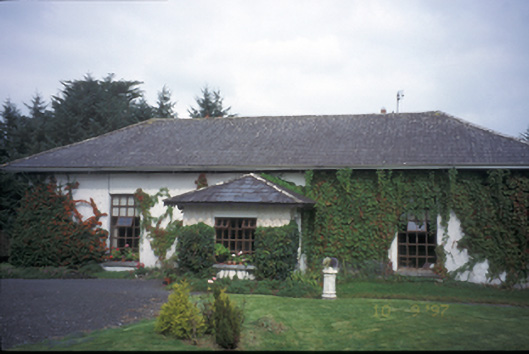 Ballycar Househouse · 1.1 mi
 Mooghaun HillfortArchaeological place · 1.4 mi
 Mooghaun WoodsWood · 1.5 mi
 HawthornHawthorn · 3.2 mi
 Quin AbbeyHeritage attraction · 3.2 mi
 Pan Am Flight 1-10aviation accident · 4.4 mi
 Cloghleagh RockNamed rock · 4.7 mi