What is recorded here
Earthwork described in 1942-3 as following; 'This is a small circular earthen platform surrounded by a fosse. The platform top slopes gently from east to west. The entrance is not recognisable. The maximum height of the platform is 4' 6" [1.37m] and the overall diameter is 84' [26m]. The fosse has disappeared on the east owing to the making of a drain and fence on that side. Situated in wet low-land' (O'Kelly 1942-3, 238-9). Faint cropmark of levelled monument barely visible today on Digital Globe aerial photographs. Standing stone to N of earthwork described in 1942-3 as following; 'This is a triangular limestone slab 4' [1.2m] high and 9" [0.23m] thick. It looks ancient. It stands in the same field as the above monument and to the north of it. It is not on the O.S. map' (ibid.).
Compiled by: Caimin O'Brien
Date of upload: 6 March 2020
The monument record does not grant public access. Check the route and ask the landowner before entering private land.
- What survives
- Recorded monument
Places near here
 BarrowBarrow, mound barrow · 172 yd
 Gotoon Househouse · 394 yd
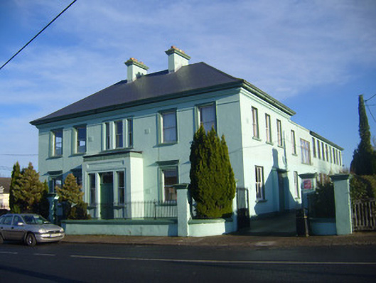 schoolschool · 654 yd
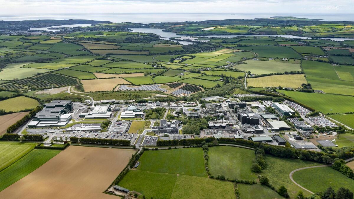 Settlement cluster in BarrysfarmSettlement cluster · 1125 yd
 Flat cemetery in Knockainy WestFlat cemetery · 1619 yd
 Mote - HachuredCastle, motte · 1.3 mi
 Desmond Castle (in ruins)Castle, unclassified · 1.3 mi
 KnockainyMountain / peak · 1.9 mi
 St Patrick's WellSpring · 2.9 mi
 Kilteely HillMountain / peak · 4.0 mi
 Edmund's WellSpring · 4.1 mi
 Carn (site of)Cairn, burial cairn · 4.4 mi