
What is recorded here
In reclaimed pasture, immediately S of a watercourse. Enclosure (LI040-030----) lies 65m to N. Not marked on OSi historic maps. Depicted on the 1897 ed. OSi 25-inch map as a circular-shaped mound (diam. c. 12m). Identified by archaeologist Edmond O’Donovan in 2015 from examination of aerial photography. Visible as a grass-covered mound on Digital Globe orthoimage taken between 2011-13 and on Google Earth orthoimages, where it is intersected at E by field boundary running NW-SE.
See attached Google Earth orthoimages.
Compiled by: Martin Fitzpatrick
Date of upload: 28 July 2021
The monument record does not grant public access. Check the route and ask the landowner before entering private land.
- What survives
- Recorded monument
Places near here
 Gotoon Househouse · 519 yd
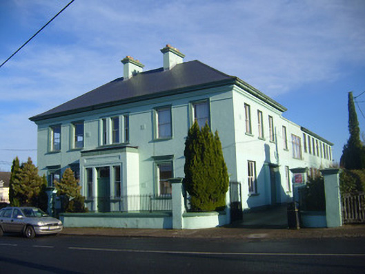 schoolschool · 818 yd
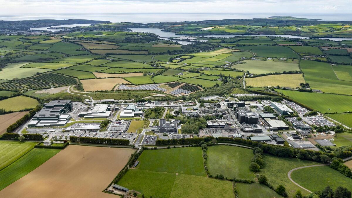 Settlement cluster in BarrysfarmSettlement cluster · 1297 yd
 Not shownExcavation, miscellaneous · 1358 yd
 Flat cemetery in Knockainy WestFlat cemetery · 1669 yd
 Mote - HachuredCastle, motte · 1.2 mi
 Desmond Castle (in ruins)Castle, unclassified · 1.4 mi
 KnockainyMountain / peak · 1.9 mi
 St Patrick's WellSpring · 2.8 mi
 Edmund's WellSpring · 4.0 mi
 Kilteely HillMountain / peak · 4.0 mi
 Carn (site of)Cairn, burial cairn · 4.4 mi
Other information
Photo: Credit not shown in the picture search · Rights wording not checked; contact us if this picture should be removed