What is recorded here
On top of a small rounded hillock in upland area. There are good views in all directions, especially of the Galtee Mountains to the S. Up to c. 2005 there was a small low standing stone atop this hillock. Between 2005 and 2006 it was removed and is no longer visible. In places the hillock appears to have been artificially constructed, however, in other places it appears to be natural. Depicted as a small quarry on the 1st (1840) ed. OS 6-inch map and as a hollow (dims. c. 18m N-S; c. 15m E-W) on the 1902-03 revision. The standing stone may have been marking a burial mound, which is possibly the low hillock that still survives.
Compiled by: Jean Farrelly
Date of revised upload: 23 March 2015
The monument record does not grant public access. Check the route and ask the landowner before entering private land.
- What survives
- Recorded monument
Places near here
 Fulacht fia in AughvallydeagFulacht fia · 1049 yd
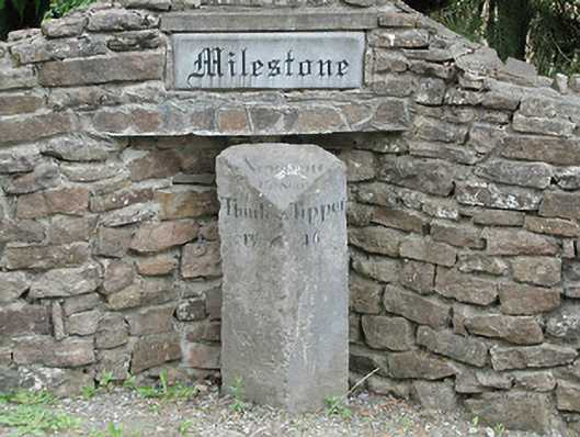 milestone/milepostmilestone/milepost · 1073 yd
 Hut site in AughvallydeagHut site · 1345 yd
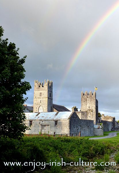 FalleennafinogaMountain / peak · 1.2 mi
 TooreenMountain / peak · 1.9 mi
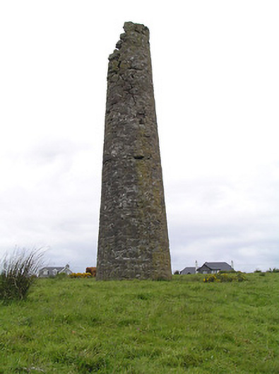 Hollyford Copper Mineschimney · 2.2 mi
 Site of Cashlauncreen CastleCastle, tower house · 2.8 mi
 Drum WoodWood · 5.3 mi
 Site of CastleCastle, unclassified · 6.7 mi
 Maudemount BogWood · 8.0 mi
 Silvermines ViewpointViewpoint · 9.6 mi
 Slieve Felim WayWalking route · 9.9 mi