What is recorded here
Until 1965 a four-metre stone stood erect on the fern-covered crest of Goirtín Na Coille, rising above scattered boulders like a forgotten marker. It may have guided travellers, marked a boundary or witnessed rituals now lost to time. The stone still lies there, half-swallowed by ferns, keeping the shape of the hill and the memory of its own height.
On crest of hill, in field coated with ferns and strewn with boulders. According to local information, stone (L 4.3m; 0.9m x 0.45m) was standing up to c. 1965.
The above description is derived from the published 'Archaeological Inventory of County Cork. Volume 3: Mid Cork' (Dublin: Stationery Office, 1997). In certain instances the entries have been revised and updated in the light of recent research.
Date of upload/revision: 14 January 2009
The monument record does not grant public access. Check the route and ask the landowner before entering private land.
- What survives
- Recorded monument
Places near here
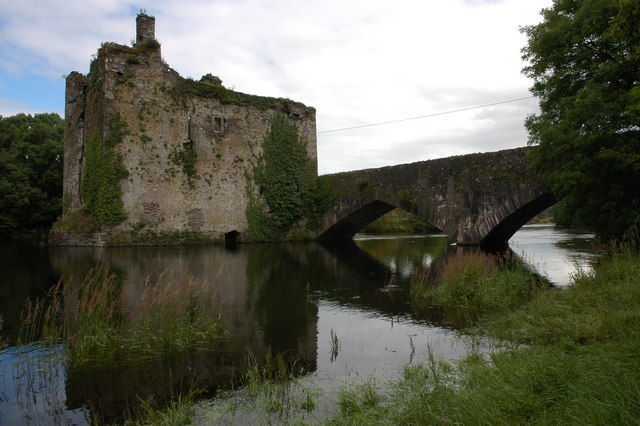 Man-made underground passage in Carraig Na DamhaireMan-made underground passage · 585 yd
 Augeris Church (in Ruins)Church · 734 yd
 Enclosure in Cathair Na CáitheEnclosure · 1269 yd
 sign postsign post · 1.1 mi
 MweelinMountain / peak · 1.7 mi
 Sli Gaeltacht MuscraiWalking route · 2.6 mi
 An Coimín BuíMountain / peak · 3.6 mi
 Gougane BarraValley and heritage place · 3.6 mi
 European ashEuropean ash · 3.7 mi
 European long distance path E8 - part IrelandWalking route · 4.4 mi
 CastleCastle, unclassified · 4.8 mi
 Gortnahoughtee Mass RockNamed rock · 5.9 mi