
What is recorded here
In pasture, on S-facing slope. Artifically raised circular platform (max. H1.2m; diam. c. 55m) with smaller circular enclosure centrally sited on top. Inner enclosure (c. 30m E-W; c. 45m N-S) is enclosed by earth and stone bank (H 0.9m). Interior damp and boggy.
The above description is derived from the published 'Archaeological Inventory of County Cork. Volume 3: Mid Cork' (Dublin: Stationery Office, 1997). In certain instances the entries have been revised and updated in the light of recent research.
Date of upload/revision: 14 January 2009
The monument record does not grant public access. Check the route and ask the landowner before entering private land.
- What survives
- Recorded monument
Places near here
 Augeris Church (in Ruins)Church · 941 yd
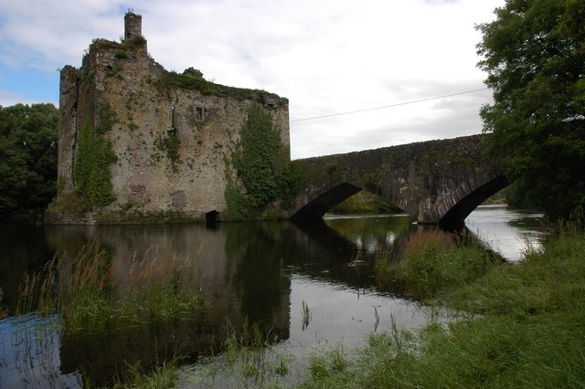 Man-made underground passage in Carraig Na DamhaireMan-made underground passage · 1438 yd
 Wedge tomb in An Goirtín FliuchWedge tomb · 1686 yd
 MweelinMountain / peak · 1.4 mi
 sign postsign post · 1.6 mi
 Sli Gaeltacht MuscraiWalking route · 1.9 mi
 An Coimín BuíMountain / peak · 3.2 mi
 European long distance path E8 - part IrelandWalking route · 3.8 mi
 CastleCastle, unclassified · 4.1 mi
 Gougane BarraValley and heritage place · 4.2 mi
 European ashEuropean ash · 4.4 mi
 Kealaboane WoodWood · 5.3 mi
Other information
Photo: Credit not shown in the picture search · Rights wording not checked; contact us if this picture should be removed