What is recorded here
Glenmakee holds a rectangular stone nearly two metres tall on a rise facing north, perhaps marking a buried cairn or a boundary forgotten by people. It still stands where the land tilts toward open sky, inviting curiosity about hands that lifted it and reasons they chose that exact spot.
Situated on rise of ground with good views to N. Present remains consist of orthostat (H 1.85m; 0.44m x 0.55m) rectangular in section standing on SE side of possible cairn (DG011-016001-).
Compiled by: Caimin O'Brien
Date of upload: 21 October 2015
Dated to the Late Neolithic or Early Bronze Age, this standing stone may have been part of a ritual or funerary landscape associated with the cairn. Such stones often held symbolic or ceremonial significance, possibly marking territory or serving as a focus for ancestor veneration.
The monument record does not grant public access. Check the route and ask the landowner before entering private land.
- What survives
- Recorded monument
Places near here
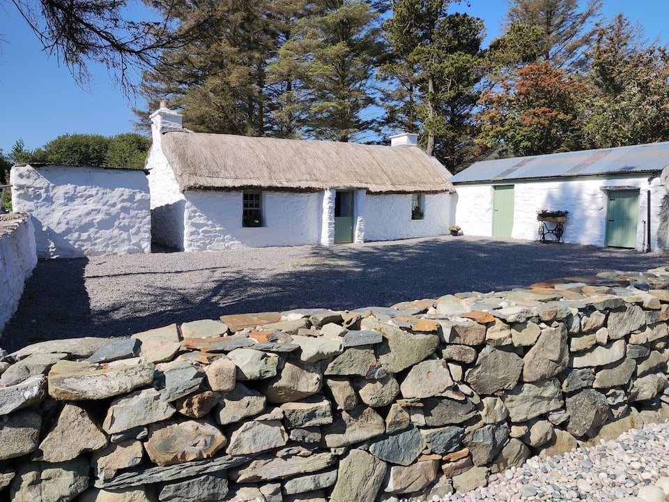 Enclosure in GlenmakeeEnclosure · 1135 yd
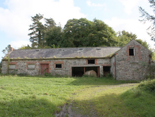 Donagh Church of Ireland Rectoryoutbuilding · 1141 yd
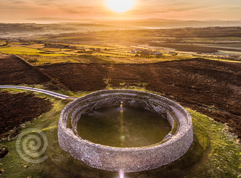 Former Altashane / Cabadooey Fairy FortFairy fort / ringfort · 1286 yd
 AltarPenal Mass station · 1.2 mi
 Carndonagh Early Church GraveyardGraveyard · 1.7 mi
 Dough Famine VillageHeritage attraction · 3.2 mi
 Doagh Famine VillageMuseum · 3.2 mi
 CastleCastle, unclassified · 3.4 mi
 Five Finger StrandBeach / strand · 3.8 mi
 Lag GraveyardGraveyard · 3.9 mi
 Bawn in CarrickabraghyBawn · 4.3 mi
 Wee Slieve SnaghtMountain / peak · 4.4 mi