
What is recorded here
Marked in gothic script on current edition of the Ordnance Survey 6-inch map as 'Altar', not marked on 1st ed. OS 6-inch map.
Compiled by: Caimin O'Brien
Date of upload/revision: : 19 July 2010
A local holy well or ritual site; wider significance not recorded.
The monument record does not grant public access. Check the route and ask the landowner before entering private land.
- What survives
- Recorded monument
Places near here
 Tirnaleague Househouse · 423 yd
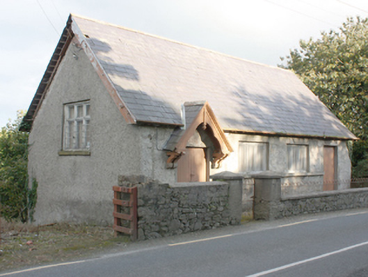 Carrick Hallchurch hall/parish hall · 504 yd
 Carndonagh Donagh Church Carved LintelArchitectural fragment · 840 yd
 Carndonagh Donagh Church Gothic DoorwayArchitectural feature · 841 yd
 Carndonagh Early Church GraveyardGraveyard · 856 yd
 Wee Slieve SnaghtMountain / peak · 4.1 mi
 Dough Famine VillageHeritage attraction · 4.3 mi
 Doagh Famine VillageMuseum · 4.3 mi
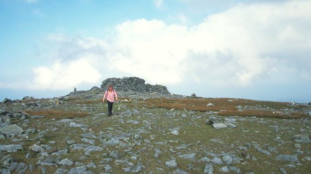 Slieve SnaghtMountain / peak · 4.5 mi
 CastleCastle, unclassified · 4.5 mi
 Five Finger StrandBeach / strand · 4.9 mi
 Lag GraveyardGraveyard · 4.9 mi
Other information
Photo: Credit not shown in the picture search · Rights wording not checked; contact us if this picture should be removed