
What is recorded here
The Carndonagh complex (National Monument number 271) is the site of one of the main early ecclesiastical centres in Donegal. It consists of a modern graveyard (DG011-035007-) surrounding the 18th century Church of Ireland church. The W entrance of the church consists of a reused 15th-century door with pointed head (DG011-035002-). To the S of this doorway and lying against the church wall is a small carved stone (DG011-035003-) 1.22m long × 0.24m high and 0.25m thick. On the face of this is a central wheeled cross, three or four figures on the left and interlacing on the right. It is, presumably, a lintel from an earlier church (DG011-035001-). The complex of monuments is situated on the E slope of Crocknakilladerry Hill in relatively good land sloping E to the Glentogher river on the edge of Carndonagh town.
The above description was derived from the 'Archaeological Survey of County Donegal. A description of the field antiquities of the County from the Mesolithic Period to the 17th century.' Compiled by: Brian Lacey with Eamon Cody, Claire Cotter, Judy Cuppage, Noel Dunne, Vincent Hurley, Celie O'Rahilly, Paul Walsh and Seán Ó Nualláin (Lifford: Donegal County Council, 1983). In certain instances the entries have been revised and updated.
Date of upload: 22 September 2008
The monument record does not grant public access. Check the route and ask the landowner before entering private land.
- What survives
- Recorded monument
Places near here
 Carndonagh Donagh Church Gothic DoorwayArchitectural feature · 1 yd
 Donagh Church of Ireland Churchchurch/chapel · 10 yd
 Donagh ChurchChurch · 10 yd
 Carndonagh Early Church GraveyardGraveyard · 17 yd
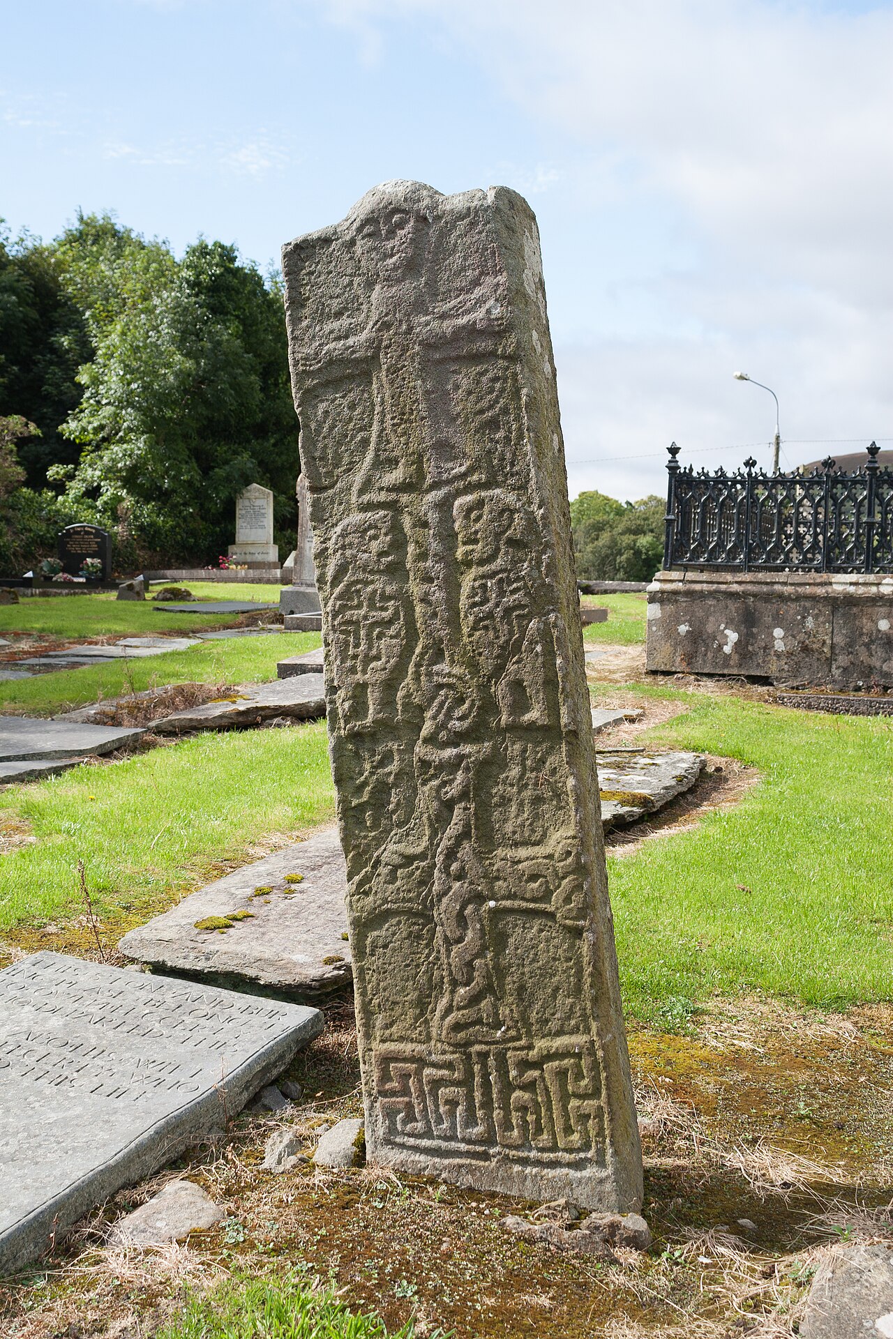 Cross-slab in Churchland QuartersCross-slab · 30 yd
 Wee Slieve SnaghtMountain / peak · 4.0 mi
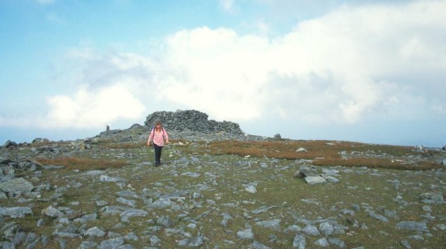 Slieve SnaghtMountain / peak · 4.4 mi
 Dough Famine VillageHeritage attraction · 4.7 mi
 Doagh Famine VillageMuseum · 4.8 mi
 Lag GraveyardGraveyard · 5.4 mi
 Five Finger StrandBeach / strand · 5.4 mi
 CuldaffOfficial bathing water · 5.8 mi
Other information
Photo: Andreas F. Borchert · CC BY-SA 4.0