What is recorded here
Internal Dimensions 60m × 46m. This oval-shaped site was possibly enclosed by two stone walls but the outer one is only apparent on S side. The inner outline can be followed although it is much damaged and quarrying has taken place on the E side. There is a possible entrance to the S and W of this, internally, a rectangular outcrop of rock. The long axis of the site is N-S. It is situated on a ridge overlooking Trawbreaga Bay to N and bogland to the S.
The above description was derived from the 'Archaeological Survey of County Donegal. A description of the field antiquities of the County from the Mesolithic Period to the 17th century.' Compiled by: Brian Lacey with Eamon Cody, Claire Cotter, Judy Cuppage, Noel Dunne, Vincent Hurley, Celie O'Rahilly, Paul Walsh and Seán Ó Nualláin (Lifford: Donegal County Council, 1983). In certain instances the entries have been revised and updated.
Date of upload: 22 September 2008
A local fairy fort (ringfort/rath); wider significance not recorded.
The monument record does not grant public access. Check the route and ask the landowner before entering private land.
- What survives
- Recorded monument
Places near here
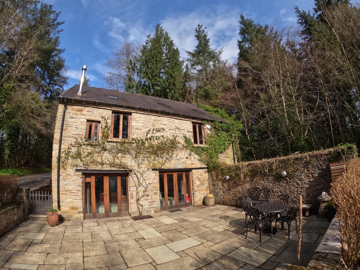 Enclosure in Glasalt OR TreanfasyEnclosure · 835 yd
 AltarPenal Mass station · 1515 yd
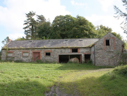 Donagh Church of Ireland Rectoryoutbuilding · 1665 yd
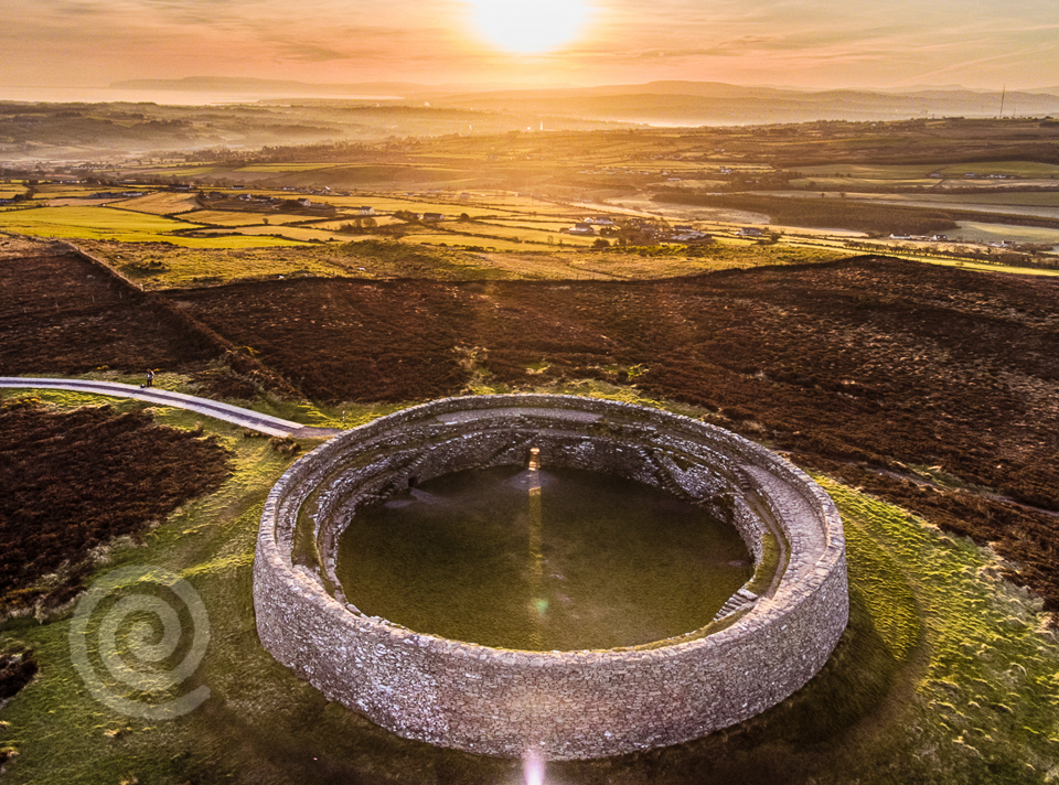 Former Altashane / Cabadooey Fairy FortFairy fort / ringfort · 1.0 mi
 Carndonagh Early Church GraveyardGraveyard · 1.3 mi
 Dough Famine VillageHeritage attraction · 3.8 mi
 Doagh Famine VillageMuseum · 3.8 mi
 Wee Slieve SnaghtMountain / peak · 3.9 mi
 CastleCastle, unclassified · 4.1 mi
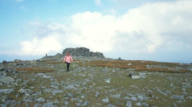 Slieve SnaghtMountain / peak · 4.3 mi
 Five Finger StrandBeach / strand · 4.5 mi
 Lag GraveyardGraveyard · 4.6 mi
Other information
Photo: Credit not shown in the picture search · Rights wording not checked; contact us if this picture should be removed