What is recorded here
In Glasalt or Treanfasy, County Donegal, a standing stone once rose tall enough for surveyors to mark it on official maps. Time or violence knocked it flat. It still lies broken on the ground, one metre sixty-five long and forty centimetres wide, waiting for someone to remember why it stood.
The 'Standing Stone' marked on the 2nd and 3rd editions of the OS 6-inch map is collapsed and broken. It is now 1.65m long × 0.4m wide.
The above description was derived from the 'Archaeological Survey of County Donegal. A description of the field antiquities of the County from the Mesolithic Period to the 17th century.' Compiled by: Brian Lacey with Eamon Cody, Claire Cotter, Judy Cuppage, Noel Dunne, Vincent Hurley, Celie O'Rahilly, Paul Walsh and Seán Ó Nualláin (Lifford: Donegal County Council, 1983). In certain instances the entries have been revised and updated.
Date of upload: 22 September 2008
Likely dating to the Bronze Age, this standing stone may have served a ceremonial or territorial function. Its collapse and fragmentation suggest possible disturbance over time, though specific folklore or use remains unrecorded.
The monument record does not grant public access. Check the route and ask the landowner before entering private land.
- What survives
- Recorded monument
Places near here
 Enclosure in Glasalt OR TreanfasyEnclosure · 711 yd
 Enclosure in GlenmakeeEnclosure · 1328 yd
 AltarPenal Mass station · 1.5 mi
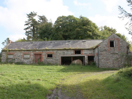 Donagh Church of Ireland Rectoryoutbuilding · 1.7 mi
 Carndonagh Early Church GraveyardGraveyard · 1.8 mi
 Wee Slieve SnaghtMountain / peak · 3.2 mi
 Glendowen craft shopHeritage attraction · 3.3 mi
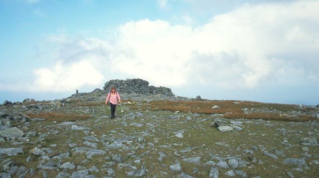 Slieve SnaghtMountain / peak · 3.7 mi
 Dough Famine VillageHeritage attraction · 4.1 mi
 CastleCastle, unclassified · 4.4 mi
 Clonmany Early Church GraveyardGraveyard · 4.5 mi
 Five Finger StrandBeach / strand · 4.8 mi