What is recorded here
Standing stone in Glenmakee is a 1.15m tall stone beside the Straid river in County Donegal, with two flat stones nearby that Maghtochair believed belonged with it. Its narrow base and level setting suggest people once recognized it as a marker, boundary or memorial rather than ordinary rock. Whatever it marked has faded, but the stones still break the ground in a place where water, field and memory meet.
A standing stone 1.15m maximum height × 1.49m wide at base × 0.3m maximum thickness; NE-SW. Beside this Maghtochair (1935, 23) noted 2 other stones which he considered were associated with the standing stone, both lying flat on the ground. Situated on level ground E of the Straid river.
The above description was derived from the 'Archaeological Survey of County Donegal. A description of the field antiquities of the County from the Mesolithic Period to the 17th century.' Compiled by: Brian Lacey with Eamon Cody, Claire Cotter, Judy Cuppage, Noel Dunne, Vincent Hurley, Celie O'Rahilly, Paul Walsh and Seán Ó Nualláin (Lifford: Donegal County Council, 1983). In certain instances the entries have been revised and updated.
Date of upload: 22 September 2008
The monument record does not grant public access. Check the route and ask the landowner before entering private land.
- What survives
- Recorded monument
Places near here
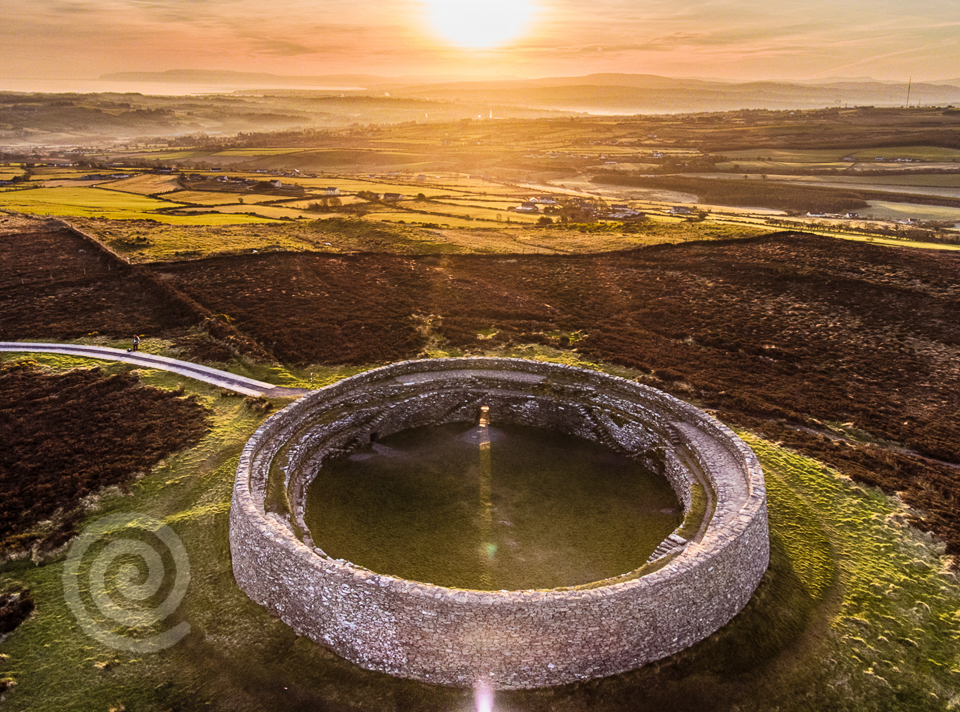 Former Altashane / Cabadooey Fairy FortFairy fort / ringfort · 1155 yd
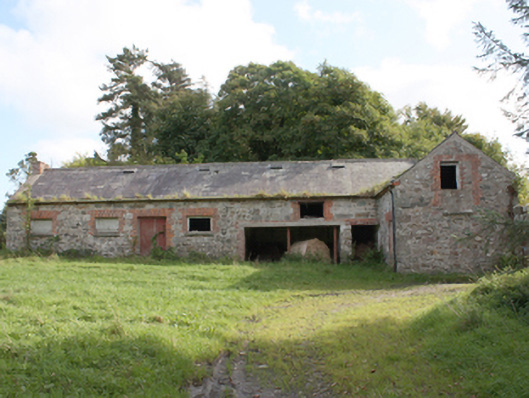 Donagh Church of Ireland Rectoryoutbuilding · 1539 yd
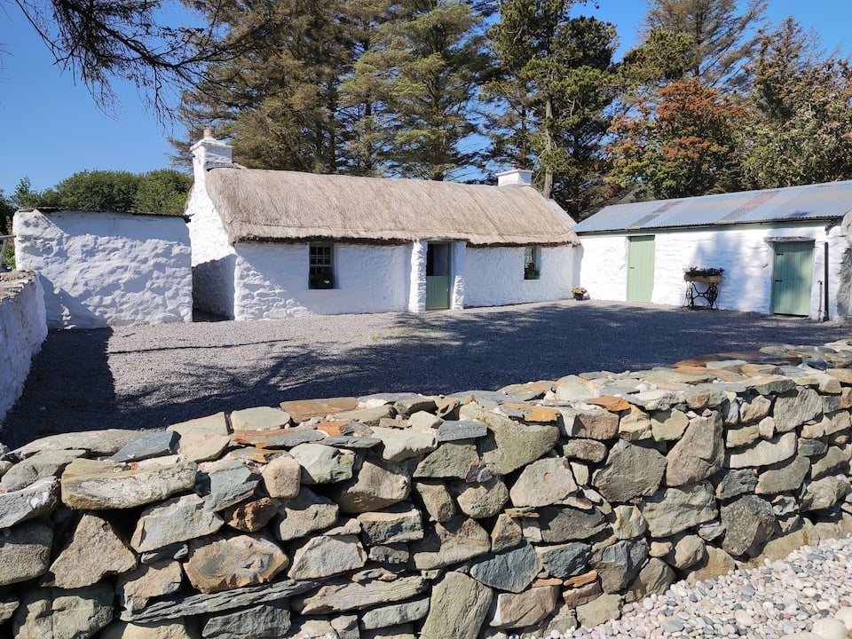 Enclosure in GlenmakeeEnclosure · 1.0 mi
 AltarPenal Mass station · 1.6 mi
 Carndonagh Early Church GraveyardGraveyard · 2.1 mi
 Dough Famine VillageHeritage attraction · 2.8 mi
 Doagh Famine VillageMuseum · 2.8 mi
 CastleCastle, unclassified · 3.0 mi
 Five Finger StrandBeach / strand · 3.4 mi
 Lag GraveyardGraveyard · 3.5 mi
 Bawn in CarrickabraghyBawn · 3.9 mi
 Wee Slieve SnaghtMountain / peak · 4.7 mi