What is recorded here
No stone appears in the pasture, only an empty slope where a marker may have pointed the wrong way. The real chamber and false duplicate still tangle together, denying the camera and mocking the surveyor. What is missing is the shape of the error: a stone invented by distance, memory or arrogance. The field keeps the mistake alive because nobody has decided which claim is wrong.
In level pasture, on slight W-facing slope, 65m N of townland boundary with Fanningstown and ringfort (LI022-037----) lies 165m to SE. No surface remains visible, possibly a duplicate site with LI013-095---. Monument not visible on Google Earth orthoimage taken in 2019. No evidence that there was ever a standing stone at this location (Grogan 1989, vol. 2, 270; O'Kelly 1943, 227). Monument may have been marked in the wrong location.
Compiled by: Fiona Rooney
Date of upload: 14 August 2020
The monument record does not grant public access. Check the route and ask the landowner before entering private land.
- What survives
- Recorded monument
Places near here
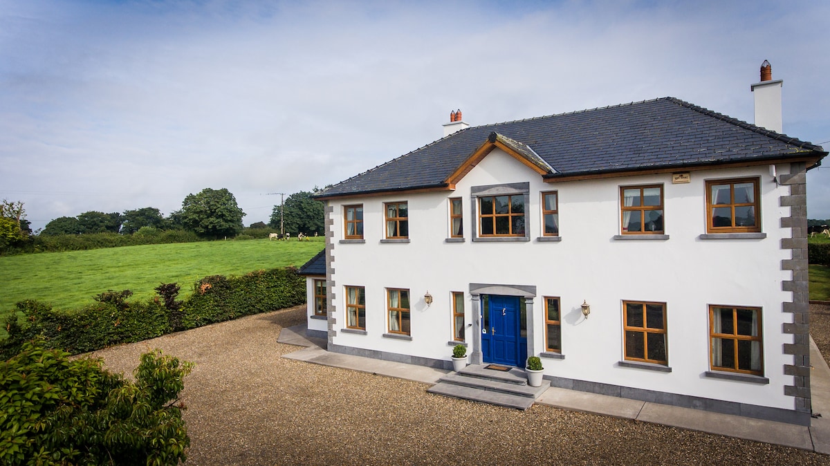 Enclosure in Fanningstown (smallcounty By.)Enclosure · 644 yd
 Partially indicatedBawn · 681 yd
 Quarry in Friarstown NorthQuarry · 753 yd
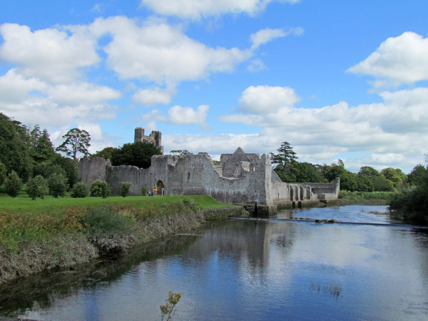 Man-made underground passage in Friarstown (clanwilliam By., Roxborough Ed)Man-made underground passage · 898 yd
 CastleCastle, ringwork · 900 yd
 RoadRoad, road/trackway · 1006 yd
 Villiers WellSpring · 1.4 mi
 Carnane RockNamed rock · 1.5 mi
 ToberauillinSpring · 1.8 mi
 European ashEuropean ash · 3.9 mi
 Monasteranenagh AbbeyHeritage attraction · 5.1 mi
 Biodiversity in the Maigue CatchmentVisitor information · 6.1 mi