What is recorded here
Included in the SMR (1986) as unlocated standing stones. O’Toole (1939, 101) refers to a stone said to have stood in a field called ‘The Elder Meadow’ while Price (1946, 87) notes that a stone used as a lintel in a stable once stood in a field in this townland. It is also noted in the OS letters (O’Flanagan 1928, 52) that the townland name is likely to have derived from standing stones.
Compiled by: Mary Tunney
Date of upload: 19 December 2012
Likely dating to the Neolithic or Bronze Age, the stone may have originally functioned as a ritual or territorial marker before being repurposed as a lintel in a stable, reflecting later agricultural reuse. Local references to its former location in "The Elder Meadow" suggest possible folklore or traditional significance now lost.
The monument record does not grant public access. Check the route and ask the landowner before entering private land.
- What survives
- Recorded monument
Places near here
 IndicatedFairy fort / earthen ringfort · 1234 yd
 The Stripped FlagsNamed rock · 1270 yd
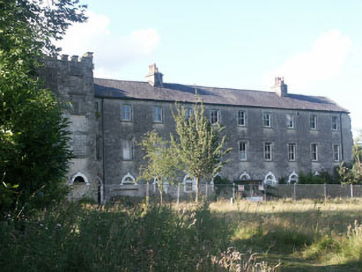 Aghavannagh Barrackbarracks · 1389 yd
 Enclosure in Slievenamough PlainEnclosure · 1.8 mi
 Drumgoff Forest Recreation AreaForest · 2.1 mi
 Ballinagappoge MountainMountain / peak · 2.7 mi
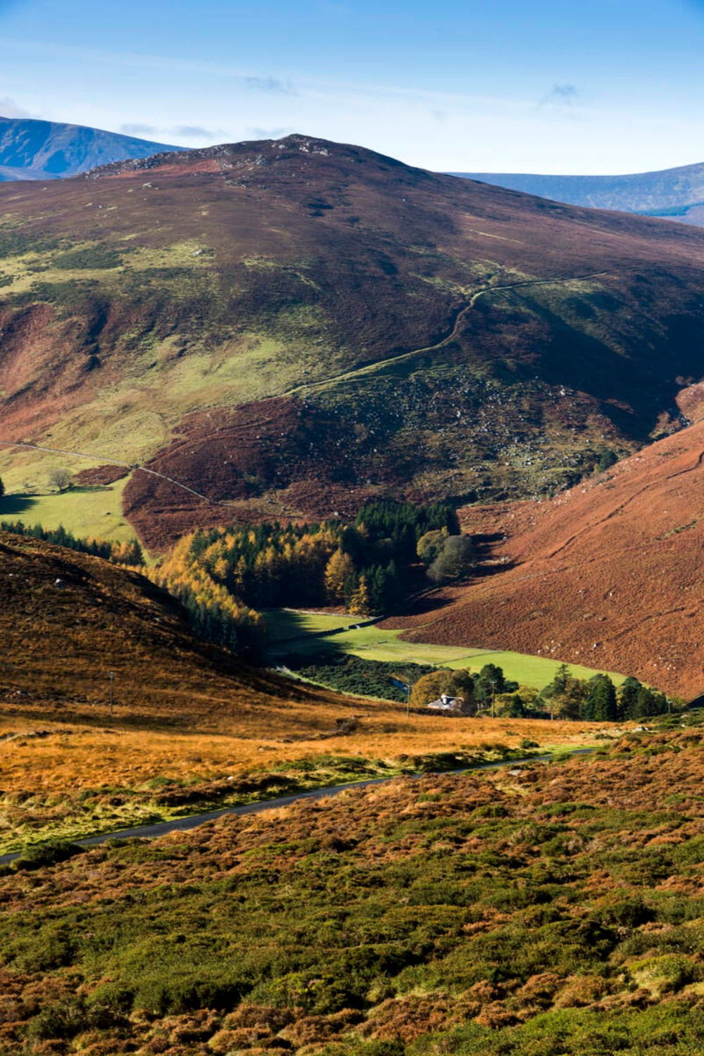 Ballycurragh HillMountain / peak · 2.7 mi
 The Black StairsNamed rock · 3.0 mi
 Saint John's Church (Moyne)church/chapel · 4.0 mi
 (Site of) Castle LaurenceCastle, unclassified · 4.1 mi
 Michael Dwyer & Fiach McHugh 0'ByrneMemorial · 4.3 mi
 Battle of GlenmalureMajor battlefield · 4.3 mi