What is recorded here
Situated towards the top of a gentle S-facing slope. Subrectangular stone of Old Red Sandstone (dims. 0.65-0.9m x 0.35-0.4m; H 0.8m) oriented ENE-WSW.
Compiled by: Michael Moore
Date of upload: 22 July 2010
The monument record does not grant public access. Check the route and ask the landowner before entering private land.
- What survives
- Recorded monument
Places near here
 Embanked enclosureFairy fort / earthen ringfort · 1222 yd
 Enclosure in BallydurnEnclosure · 1649 yd
 Church in KilcanaveeChurch · 1.3 mi
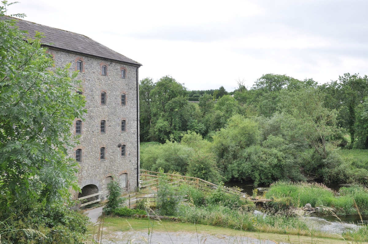 Kiln in KilmoveeKiln · 1.6 mi
 Croughaun HillMountain / peak · 1.9 mi
 Whitestown WoodForest · 2.3 mi
 CastleCastle, tower house · 2.4 mi
 The GroveWood · 2.8 mi
 Site of Cas.Castle, unclassified · 2.9 mi
 8 Arch GalleryGallery · 3.0 mi
 Donnell's HillMountain / peak · 3.2 mi
 Magic Road (finish)Heritage attraction · 5.9 mi