What is recorded here
Standing stone in Fál Aonaosa rises 1.45m above a ruined field boundary in County Donegal, leaning slightly east while overlooking Fallaneas Lough Lower. Its narrow 0.12m thickness and north-south alignment suggest deliberate placement rather than casual dumping. People may have set it there to mark a boundary, honour a loss or guide travellers along the sloping land. The lough below still catches light on its surface, giving the stone a living witness even when the fields around it have vanished.
A standing stone 1.45m high × 0.5m wide × 0.12m thick; N-S. It leans slightly to the E. It is set in a ruined field boundary on gently sloping land overlooking Fallaneas Lough Lower to the S.
The above description was derived from the 'Archaeological Survey of County Donegal. A description of the field antiquities of the County from the Mesolithic Period to the 17th century.' Compiled by: Brian Lacey with Eamon Cody, Claire Cotter, Judy Cuppage, Noel Dunne, Vincent Hurley, Celie O'Rahilly, Paul Walsh and Seán Ó Nualláin (Lifford: Donegal County Council, 1983). In certain instances the entries have been revised and updated.
Date of upload: 22 September 2008
The monument record does not grant public access. Check the route and ask the landowner before entering private land.
- What survives
- Recorded monument
Places near here
 Former Cashel FortFairy fort / ringfort · 1343 yd
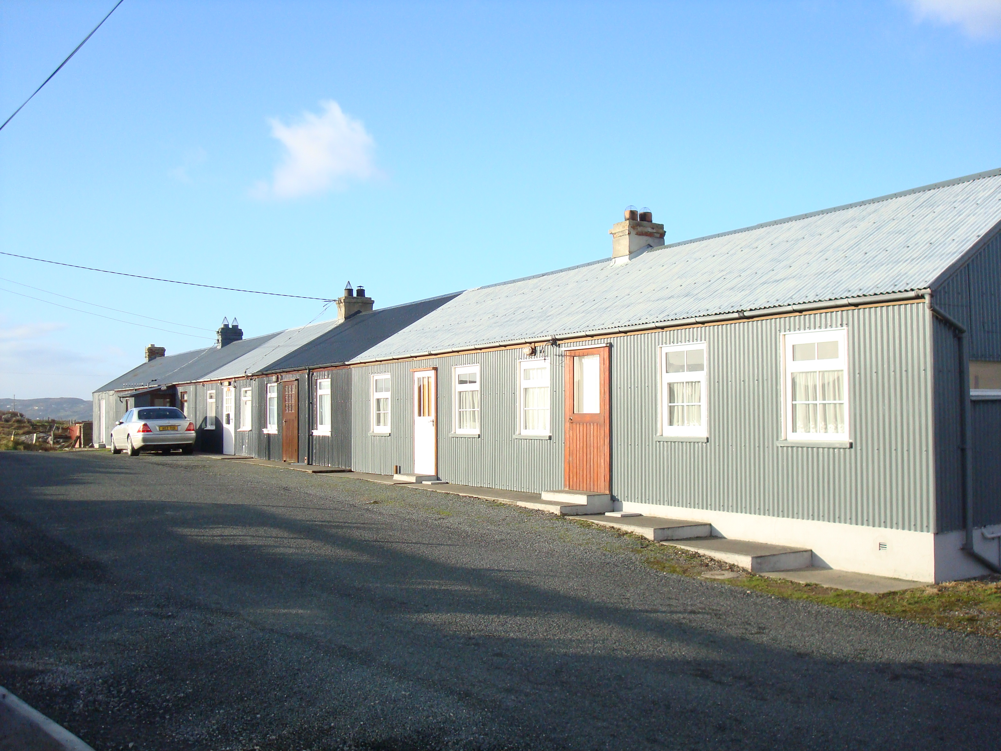 worker's houseworker's house · 1603 yd
 Baile Thiarnáin Raised Fairy FortFairy fort / earthen ringfort · 1689 yd
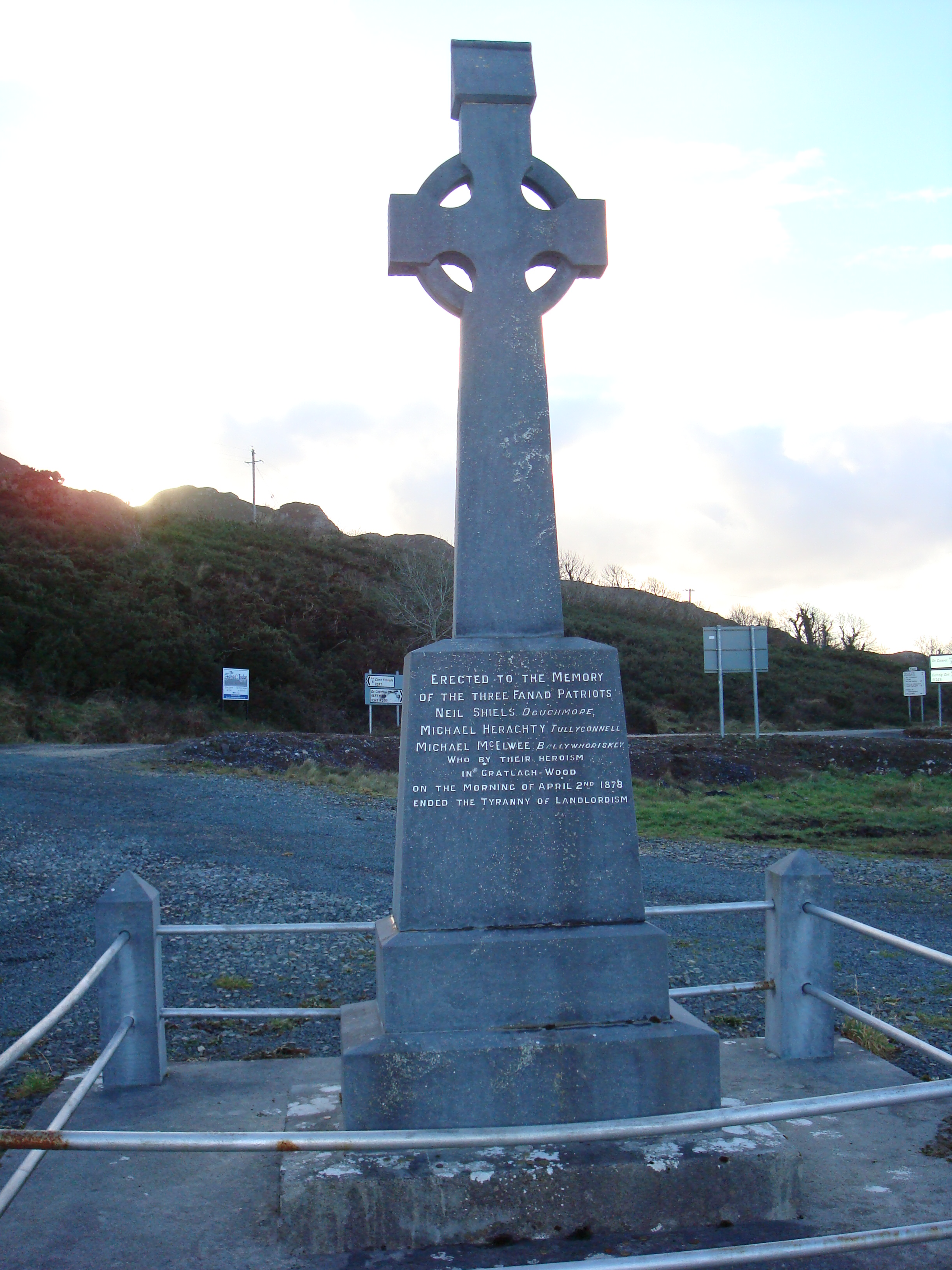 Fanad Patriots Monumentmonument · 1.2 mi
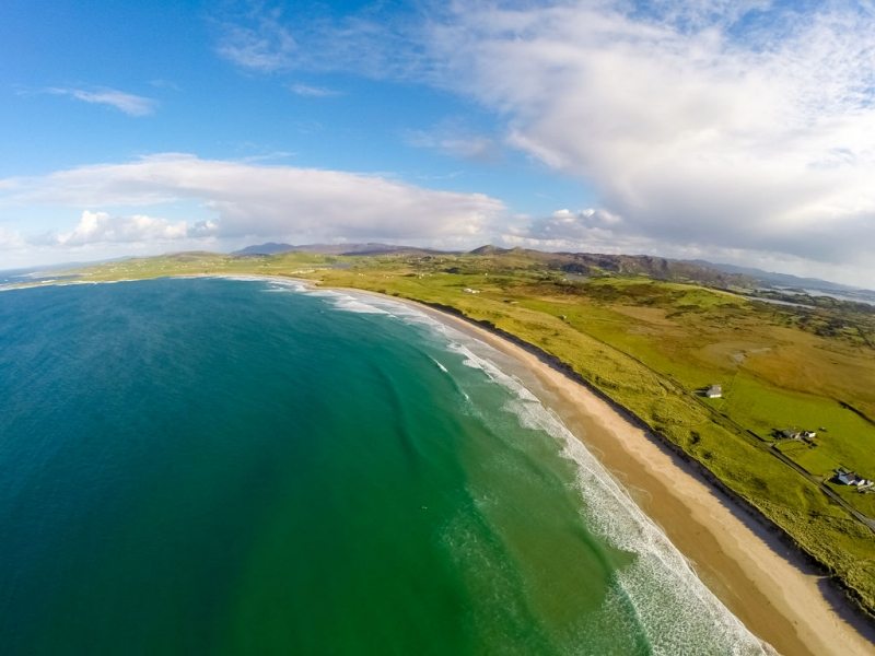 Ballyhiernan, FanadOfficial bathing water · 1.7 mi
 Moross CastleCastle, tower house · 2.4 mi
 Cnoc na SleáMountain / peak · 3.1 mi
 The Murder HoleCave · 3.1 mi
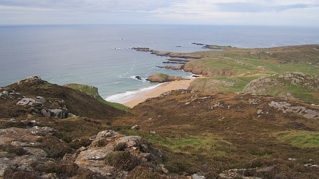 Boyeeghter StrandBeach / strand · 3.2 mi
 HazelHazel · 4.2 mi
 Old CastleCastle, unclassified · 4.4 mi
 Wych ElmWych Elm · 4.7 mi