What is recorded here
On a gentle SE-facing slope on a broad plateau. A stone upright (dims 0.3m x 0.15m; H 1.45m) aligned E-W is propped up with spalls. A line of slabs extends S (L 5.8m) with collapsed slabs to the E forming a rectangular channel (Wth 1.3m), perhaps natural.
The above description is derived from 'The Archaeological Inventory of County Leitrim' compiled by Michael J. Moore (Dublin: Stationery Office, 2003). In certain instances the entries have been revised and updated in the light of recent research.
Date of upload: 23 September 2008
Probably dating to the Neolithic or Bronze Age, this standing stone and associated slab alignment may have had ritual or ceremonial significance, possibly marking a territorial boundary or serving as an astronomical marker. Local folklore may associate it with ancient spirits or legendary figures, though specific traditions are not recorded.
The monument record does not grant public access. Check the route and ask the landowner before entering private land.
- What survives
- Recorded monument
Places near here
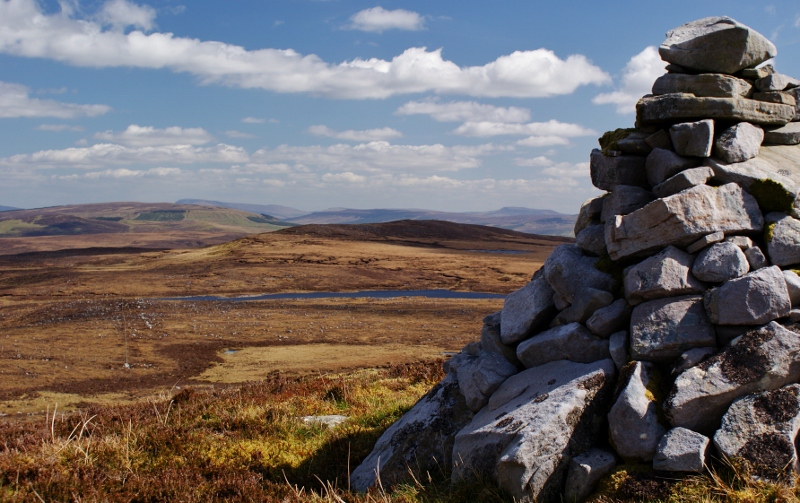 Aganny TopMountain / peak · 1239 yd
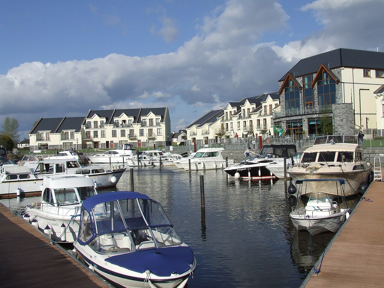 AghalateeveMountain / peak · 1.2 mi
 Enclosure in GorteendarraghEnclosure · 1.7 mi
 Sweat HouseSweathouse · 2.3 mi
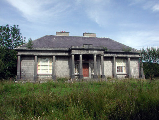 Glenade Housecountry house · 2.5 mi
 Church in Drummans (rosclogher By., Aghanlish Ed)Church · 2.7 mi
 InisheherIslet · 3.2 mi
 InishmeanIslet · 3.5 mi
 Rosfriar PointHeadland · 3.5 mi
 Lareen BayBay · 3.7 mi
 Eagle's RockMountain / peak · 4.3 mi
 Fowley's FallsPicnic place · 4.7 mi