What is recorded here
Standing stone in Erneen leans slightly north on a south-facing slope above a river valley in County Kerry. It is not a distant myth but a visible marker in rough pasture, perhaps tied to the field called páirc an ghalláin. A person may have set it, pointed at it, or walked past it for generations before written memory arrived. The stone still does that work: it holds attention, marks difference, and invites curiosity.
In rough hill pasture, on a S-facing slope overlooking a river valley. This standing stone (1.35m x 0.6m; H 1.55m) is subrectangular in plan and is orientated E-W. It leans slightly to the N. This is probably the standing stone referred to by B. Ó Cíobháin as being in a field known as 'páirc an ghalláin' (SMR file).
The above description is derived from the published 'Archaeological Inventory of County Kerry. Volume I: South-West Kerry' (Dublin: Stationery Office, 2009). In certain instances the entries have been revised and updated in the light of recent research.
Date of upload: 30 May 2011
The monument record does not grant public access. Check the route and ask the landowner before entering private land.
- What survives
- Recorded monument
Places near here
 Field boundary in ErneenField boundary · 274 yd
 IndicatedField boundary · 653 yd
 KilnKiln, lime · 1286 yd
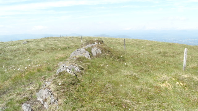 KnocknamanaghMountain / peak · 1373 yd
 DrehigeighteraghBridge · 1.2 mi
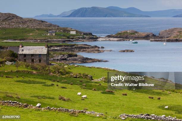 An CaincínMountain / peak · 1.4 mi
 CaoinkeenCliff · 1.7 mi
 Bullaun StoneHeritage attraction · 1.9 mi
 Bonane Heritage ParkMuseum · 2.0 mi
 The Priests LeapViewpoint · 2.4 mi
 Battle of Callannbattle · 4.4 mi
 European YewEuropean Yew · 4.9 mi