What is recorded here
At the centre of a pasture field, to the N of Drombrow Lake, in the valley of the Mealagh River. This standing stone (0.8m x 0.5m; H 0.92m) is roughly rectangular in plan and is orientated NNE-SSW. The stone narrows slightly as it rises.
The above description is derived from 'The Archaeological Inventory of County Cork. Volume 5' (Dublin: Stationery Office, 2009).
Date of upload: 22 December 2009
Likely dating to the Neolithic or Bronze Age, this standing stone may have served a ceremonial or territorial function. Its orientation and location near a lake suggest possible ritual or astronomical significance, though specific folklore or use remains unrecorded.
The monument record does not grant public access. Check the route and ask the landowner before entering private land.
- What survives
- Recorded monument
Places near here
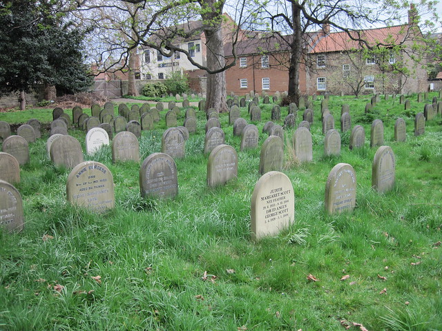 Burial ground in DrombrowBurial ground · 164 yd
 Church in InchicloghChurch · 598 yd
 Country house in InchicloghCountry house · 632 yd
 Cliff-edge fort in DromdoneenCliff-edge fort · 903 yd
 Trawlebane WalkWalking route · 2.0 mi
 Francis O'Neill PlaqueMemorial · 2.1 mi
 Ballylickey BayBay · 2.2 mi
 Castle (in Ruins)House, fortified house · 2.3 mi
 Baugorm Castle (Site of)Castle, unclassified · 2.5 mi
 Graveyard in TownlotsGraveyard · 2.5 mi
 Tourist OfficeVisitor information · 2.6 mi
 Eagle PointHeadland · 2.7 mi