What is recorded here
Situated in the middle of the uppermost tier of a stepped barrow (CL008-062001-), this standing stone (H 1.78m; Wth 0.32-0.42m; T 0.21m) is rectangular in cross-section, widening toward the top, and leaning to the E. It is oriented SSW-NNE. Beside this to the NE is a fallen slab (L 0.8m; Wth 0.41m; T 0.21m) of the same shape and possibly a fragment of the standing stone. Both stones are roughly shaped and somewhat weathered.
The following images have been uploaded:
CL008-062002-_01.jpg View from W (photo: John Tunney 2018)
CL008-062002-_02.jpg View from E
CL008-062002-_03.jpg View from S
CL008-062002-_04.jpg View from W
Compiled by: Mary Tunney and Conn Herriott
Date of upload: 25 October 2022
Likely dates to the Neolithic or Bronze Age, given its association with a barrow, and may have had a ritual or commemorative function. Such stones are often linked to burial practices or territorial markers in prehistoric landscapes.
The monument record does not grant public access. Check the route and ask the landowner before entering private land.
- What survives
- Recorded monument
Places near here
 Fisherstreet PotCave · 199 yd
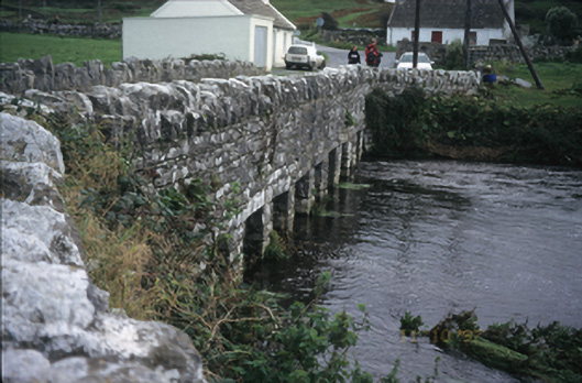 bridgebridge · 257 yd
 Enclosure in DoonmacfelimEnclosure · 470 yd
 Doonmacfelim Castle (in Ruins)Castle, tower house · 578 yd
 Roadford Bridgebridge · 624 yd
 CastleCastle, unclassified · 793 yd
 Enclosure in DoonnagoreEnclosure · 1003 yd
 Aran View SwalletCave · 1733 yd
 Doolin FerriesHeritage attraction · 1.2 mi
 Wild Atlantic Way: Doolin PierVisitor information · 1.2 mi
 Ballaghaline PointHeadland · 1.3 mi
 Doolin PointHeadland · 1.4 mi