What is recorded here
Doire An Chuillinn holds a rectangular stone eighty-six centimetres tall, wedged into rough pasture beside a farm road where it still stops a gate. Its south face carries a shallow depression, perhaps worn smooth by generations of hinges or hands. The stone predates the farm, yet the farm has given it a new purpose, turning ancient weight into daily use.
In rough pasture, on the W side of a farm road, on a N-facing slope. This standing stone (0.27m x 0.16m; H 0.86m) is roughly rectangular in plan and section and is orientated E-W. The standing stone is frequently used as a stop for a farm gate and a small depression on its S face may be related to this function.
The above description is derived from 'The Archaeological Inventory of County Cork. Volume 5' (Dublin: Stationery Office, 2009).
Date of upload: 22 December 2009
The monument record does not grant public access. Check the route and ask the landowner before entering private land.
- What survives
- Recorded monument
Places near here
 Man-made underground passage in Doire An ChuillinnMan-made underground passage · 941 yd
 IndicatedKiln, lime · 1252 yd
 Megalithic tomb in Cúil AodhaMegalithic tomb · 1453 yd
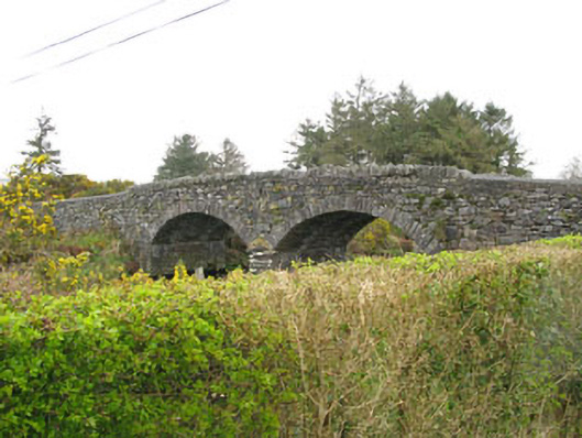 Milleeny Bridgebridge · 1613 yd
 Sli Gaeltacht MuscraiWalking route · 1.2 mi
 An Coimín BuíMountain / peak · 2.1 mi
 MweelinMountain / peak · 2.4 mi
 CastleCastle, unclassified · 2.8 mi
 European long distance path E8 - part IrelandWalking route · 3.0 mi
 Cascade WoodWood · 3.5 mi
 Castle (Site of)Castle, unclassified · 3.5 mi
 Kealaboane WoodWood · 3.6 mi