What is recorded here
Barrymore By. holds a sub-rectangular stone ninety centimetres tall, lying across an east-facing pasture slope. It points west toward another standing stone a hundred and twenty metres away, linking two quiet markers in open countryside. People may have set them there to judge distance, remember an event or simply watch the sky change over the fields.
In pasture on E-facing slope. Sub-rectangular stone (H 0.9m; 0.97m x 0.5m), long axis E-W. Standing stone (CO054-024001-) c. 120m to W.
The above description is derived from the published 'Archaeological Inventory of County Cork. Volume 2: East and South Cork' (Dublin: Stationery Office, 1994). In certain instances the entries have been revised and updated in the light of recent research.
Date of upload/revision: 14 January 2009
The monument record does not grant public access. Check the route and ask the landowner before entering private land.
- What survives
- Recorded monument
Places near here
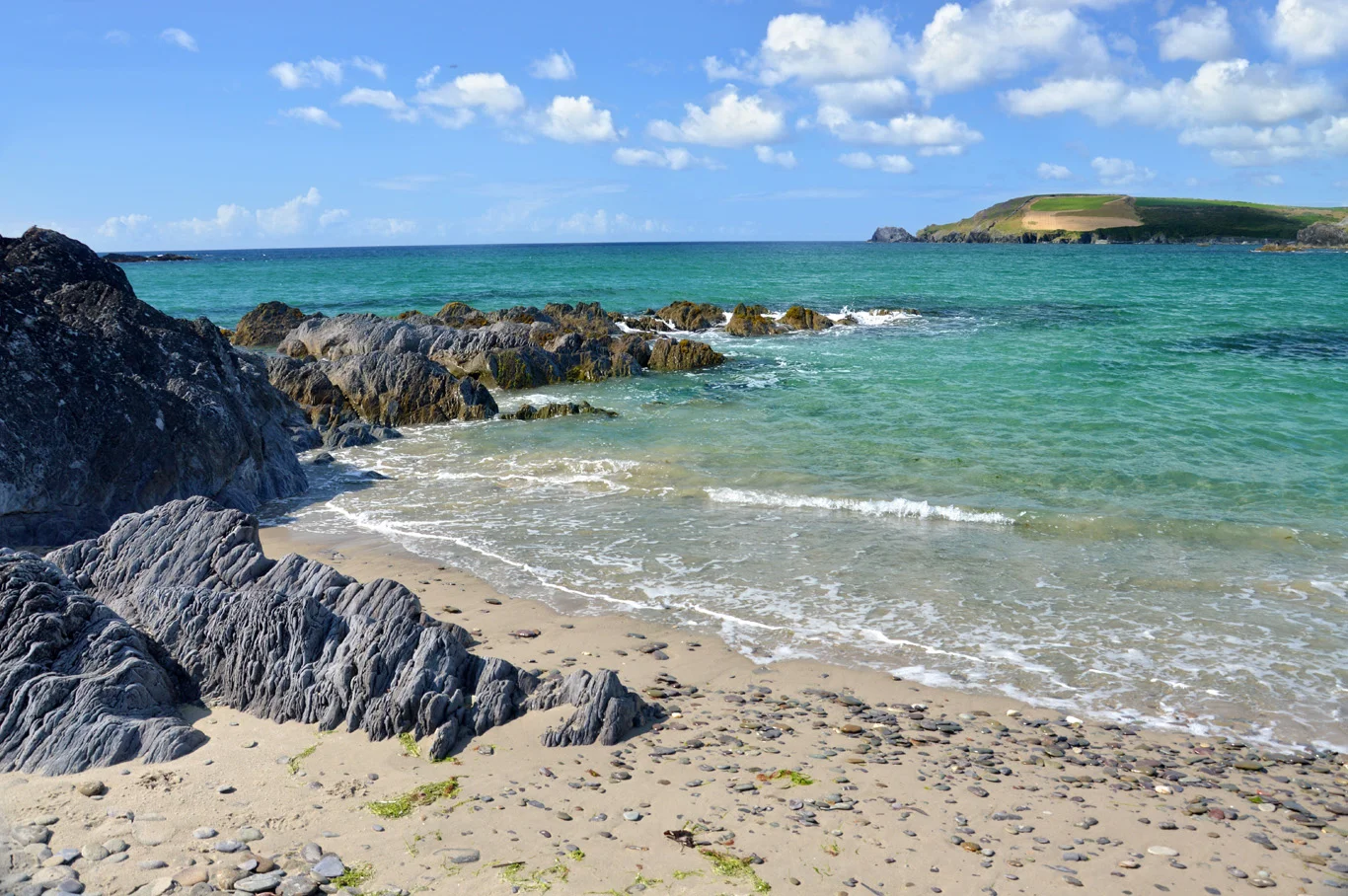 IndicatedHouse, vernacular house · 308 yd
 Desert Church (in Ruins)Church · 538 yd
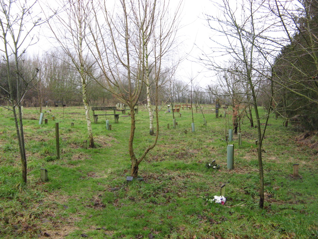 Burial ground in CaherdesertBurial ground · 565 yd
 Man-made underground passageMan-made underground passage · 816 yd
 Rathcormac massacremassacre · 2.0 mi
 Court (site of )Castle, unclassified · 2.2 mi
 Monananig WoodsWood · 2.5 mi
 Devonshire's HillMountain / peak · 2.7 mi
 Castle (Site of)Castle, unclassified · 2.8 mi
 Graveyard in KillasseraghGraveyard · 3.8 mi
 Moanbaun ForestForest · 3.8 mi
 Graveyard in Killuntin NorthGraveyard · 7.2 mi