What is recorded here
Derreenataggart Middle holds a rectangular standing stone thirty-two centimetres wide and three metres tall, aligned east-northwest on a rock outcrop above Castletown Bearhaven. It is not a bulky monolith but a flat, knife-like marker, perhaps guiding sailors or marking a boundary people no longer name. The stone still points across the water, unchanged since before written records, while the town below has grown and forgotten the hand that set it.
On rock outcrop overlooking Castletown Bearhaven to E. Rectangular stone aligned ENE-WSW (H 3.2m; 0.5m; 0.15m). (O'Brien 1970, 16).
The above description is derived from the published 'Archaeological Inventory of County Cork. Volume 1: West Cork' (Dublin: Stationery Office, 1992). In certain instances the entries have been revised and updated in the light of recent research.
Date of upload/revision: 14 January 2009
The monument record does not grant public access. Check the route and ask the landowner before entering private land.
- What survives
- Recorded monument
Places near here
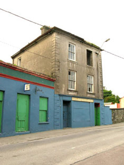 The Silver Dollar Barhouse · 199 yd
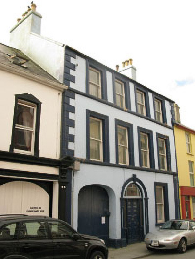 Even Tidehouse · 383 yd
 Sarah Walker GalleryGallery · 421 yd
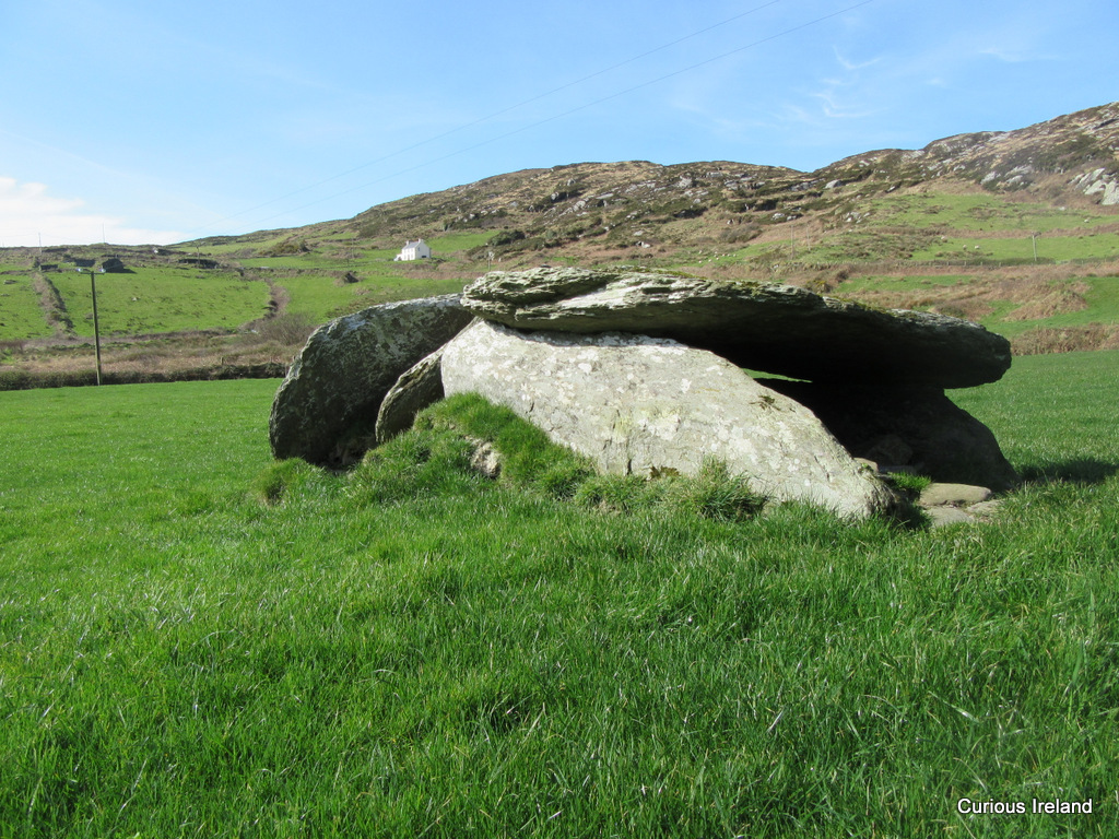 Killeenagh Burial Gd (Infants)Burial ground · 444 yd
 Berehaven Battalion MemorialMemorial · 599 yd
 BellMonument · 683 yd
 Dinish IslandIslet · 1235 yd
 Sheep IslandsIslet · 1.0 mi
 Castle (in Ruins)Castle, tower house · 1.2 mi
 Siege of Dunboysiege · 1.2 mi
 Burial ground in DerrycreeveenBurial ground · 1.2 mi
 TraneenBeach / strand · 1.6 mi