What is recorded here
In rough rush and gorse-covered grazing on a N-facing slope c. 200m from the S shore of Bearhaven Harbour. According to local tradition, a series of stones and small boulders (max. H 0.5m) mark the burial place of George Carew's soldiers, who died during the Siege of Dunboy in 1602. The stones are largely obscured by gorse. Volume 5' (Dublin: Stationery Office, 2009).
From the National Monuments Service (Archaeological Survey of Ireland) record CO115-129
The monument record does not grant public access. Check the route and ask the landowner before entering private land.
- What survives
- Recorded monument
Places near here
Photo credits
- National Inventory of Architectural Heritage
- Gordon Hatton, Geograph · CC BY-SA 2.0
- El Gringo ( talk ) ( Uploads ), Wikimedia Commons · CC BY 2.5
- Nomasoft, Wikimedia Commons · CC BY-SA 4.0
- Mike Searle, Wikimedia Commons · CC BY-SA 2.0
- Colin Park, Geograph · CC BY-SA 2.0
- Nigel Cox, Wikimedia Commons · CC BY-SA 2.0
- Seandálaí, Wikimedia Commons · CC BY-SA 4.0
- Towel401, Wikimedia Commons · CC BY-SA 4.0
- Jonathan Thacker, Geograph · CC BY-SA 2.0
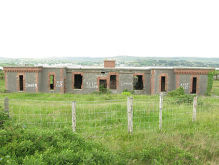 officer's house629 yd
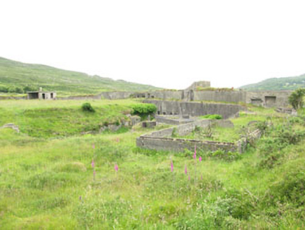 battery717 ydArdnakinna West Island LoopWalking route · 984 yd
 Dinish IslandIslet · 1416 yd
 Siege of DunboySiege · 1.1 mi
 Dunboy CastleCastle · 1.1 mi
 Castle (in Ruins)Castle, tower house · 1.1 mi
 KnockanalligMountain / peak · 1.4 mi
 Derreenataggart Stone CircleArchaeological place · 1.7 mi
 GallaunsStone circle, multiple-stone · 1.7 mi
 Bere IslandIsland · 2.2 mi
 Eagle HillMountain / peak · 2.7 mi
More wrecks and historic events in County Cork · All of County Cork
What do you know about this place?