What is recorded here
Derreenataggart Middle held a tall rectangular stone on a sunny south-facing slope, but human hands dragged it from that ancient light around 1965. The stone now lies flat beside an old farm building, stripped of its vertical purpose and reduced to a heavy neighbor for domestic animals. Its sudden fall from sky to soil suggests a world where even sacred markers must yield to changing human needs.
In pasture on S-facing slope (UCC). Removed c. 1965. Now lying beside old farm building to NE. Rectangular stone (L 2.9m; 0.37m x 0.18m).
The above description is derived from the published 'Archaeological Inventory of County Cork. Volume 1: West Cork' (Dublin: Stationery Office, 1992). In certain instances the entries have been revised and updated in the light of recent research.
Date of upload/revision: 14 January 2009
The monument record does not grant public access. Check the route and ask the landowner before entering private land.
- What survives
- Recorded monument
Places near here
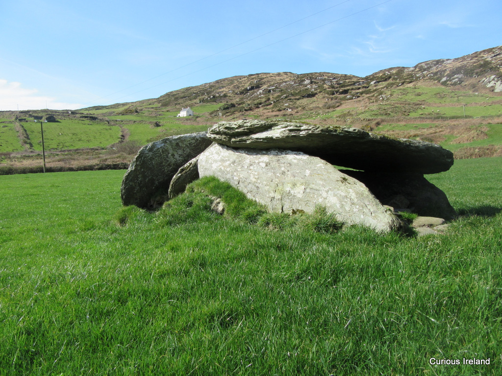 Killeenagh Burial Gd (Infants)Burial ground · 259 yd
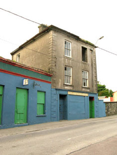 The Silver Dollar Barhouse · 303 yd
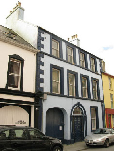 Even Tidehouse · 586 yd
 Sarah Walker GalleryGallery · 598 yd
 Berehaven Battalion MemorialMemorial · 807 yd
 Holy well in CurradonohoeHoly well · 908 yd
 Dinish IslandIslet · 1312 yd
 Sheep IslandsIslet · 1669 yd
 Castle (in Ruins)Castle, tower house · 1756 yd
 Siege of Dunboysiege · 1.0 mi
 Burial ground in DerrycreeveenBurial ground · 1.1 mi
 TraneenBeach / strand · 1.4 mi