What is recorded here
Derreenataggart Middle held a one-metre stone on a north-facing slope above the sea inlet at Castletownbere. It stood in pasture, small enough to be overlooked but old enough to belong before human memory. Cork County Council demolished it in 1993 for a housing estate, erasing the last visible marker without ceremony. The field still faces the sea, but the stone is gone, leaving only the shape of its absence in the grass.
In pasture, on a N-facing slope near the head of a sea inlet at the W side of Castletownbere. This standing stone (0.5m x 0.3m; H c. 1m) was demolished in 1993 when a housing estate was developed by Cork County Council in this field. There are now no visible remains of the standing stone.
The above description is derived from 'The Archaeological Inventory of County Cork. Volume 5' (Dublin: Stationery Office, 2009).
Date of upload: 22 December 2009
The monument record does not grant public access. Check the route and ask the landowner before entering private land.
- What survives
- Recorded monument
Places near here
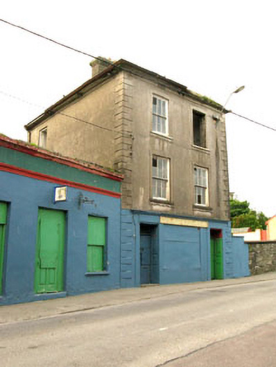 The Silver Dollar Barhouse · 46 yd
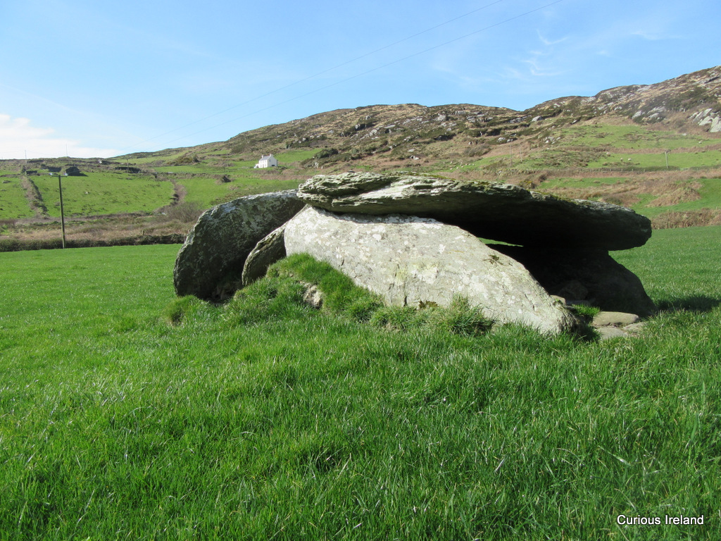 Killeenagh Burial Gd (Infants)Burial ground · 278 yd
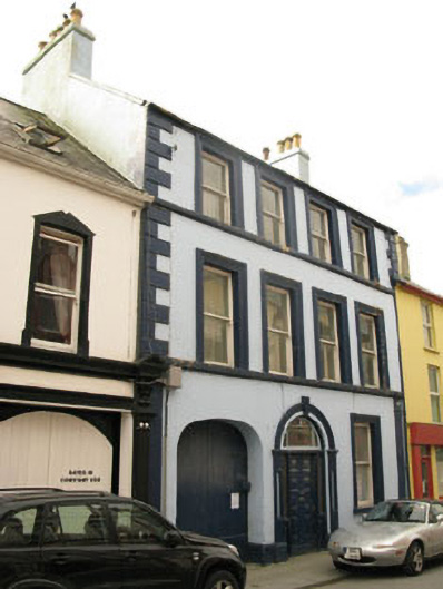 Even Tidehouse · 331 yd
 Sarah Walker GalleryGallery · 341 yd
 Berehaven Battalion MemorialMemorial · 550 yd
 BellMonument · 665 yd
 Dinish IslandIslet · 1090 yd
 Sheep IslandsIslet · 1590 yd
 Burial ground in DerrycreeveenBurial ground · 1.1 mi
 Castle (in Ruins)Castle, tower house · 1.1 mi
 Siege of Dunboysiege · 1.1 mi
 Ardnakinna West Island LoopWalking route · 1.5 mi