What is recorded here
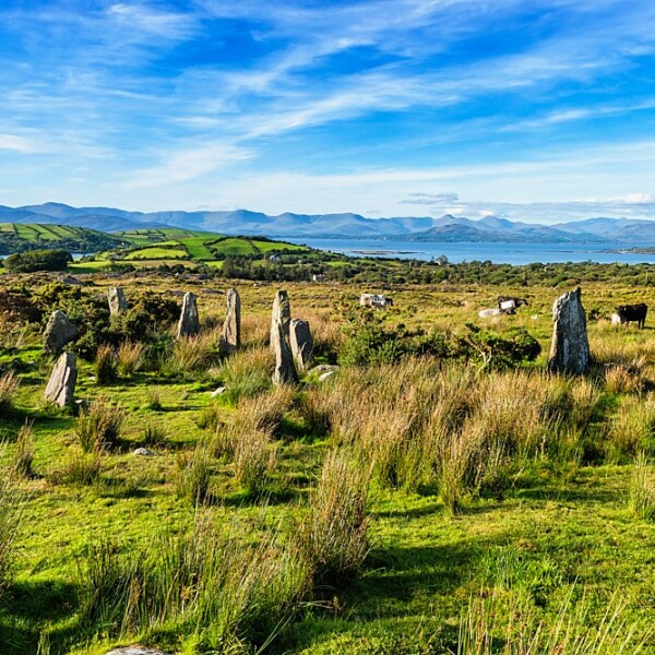
Brendan Ó Ciobháin recorded the placename 'páirc an chlocháin' in this townland (SMR file) but this does not necessarily imply a standing stone.
Compiled by: Elizabeth Byrne, Ursula Egan and Sheila Ronan, Archaeological Survey Unit, University College, Cork.
Date of upload: 30 May 2011
The monument record does not grant public access. Check the route and ask the landowner before entering private land.
- What survives
- Recorded monument
Places near here
 Keeragh MountainMountain / peak · 918 yd
 Glashananinnaun Br.Bridge · 1224 yd
 CairnCairn, unclassified · 1342 yd
 Knocknaveacal South TopMountain / peak · 1476 yd
 Bird IslandIslet · 1.0 mi
 Field boundary in Ardgroom OutwardField boundary · 1.0 mi
 Eskadawer Br.Bridge · 1.7 mi
 Ardgroom Pulleen LoopWalking route · 2.5 mi
 Crane IslandIslet · 2.8 mi
 Japanese cedarJapanese cedar · 3.1 mi
 Soft Tree-fernSoft Tree-fern · 3.1 mi
 Beara WayWalking route · 4.5 mi