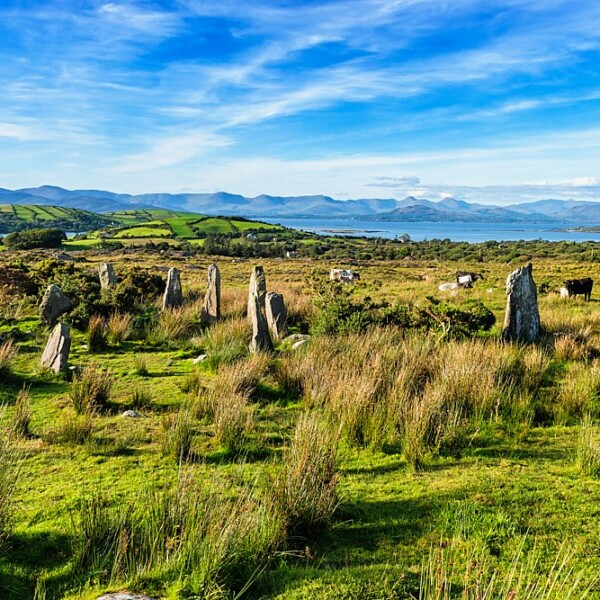
What is recorded here
Half-hidden in gorse and heather on Tooreennamna Mountain, the circular cairn holds loose stones above a faint southern kerb. It sits eighty metres from a hut site, waiting for someone to remember why those rocks were gathered instead of scattered.
In rough hill pasture, on the lower N-facing slopes of Tooreennamna Mountain. A circular cairn (5.1m N-S; 4.7m E-W; H 0.45m), which consists of a variety of loose stones, is partially obscured by heather and gorse and is in a disturbed state. The cairn displays traces of a kerb along its SW arc. It is set against outcropping rock at the N. There is a hut site (CO102-041012-) c. 80m to the SE.
The above description is derived from 'The Archaeological Inventory of County Cork. Volume 5' (Dublin: Stationery Office, 2009).
Date of upload: 22 December 2009
The monument record does not grant public access. Check the route and ask the landowner before entering private land.
- What survives
- Recorded monument
Places near here
 Field boundary in Ardgroom OutwardField boundary · 108 yd
 Boulder-burial in Ardgroom OutwardBoulder-burial · 549 yd
 Glashananinnaun Br.Bridge · 1539 yd
 CoomacloghaneMountain / peak · 1645 yd
 Keeragh MountainMountain / peak · 1.3 mi
 Bird IslandIslet · 1.3 mi
 Cappul Bridgebridge · 1.8 mi
 Ardgroom Pulleen LoopWalking route · 2.2 mi
 Crane IslandIslet · 3.4 mi
 Beara WayWalking route · 3.8 mi
 Japanese cedarJapanese cedar · 3.8 mi
 Soft Tree-fernSoft Tree-fern · 3.8 mi
Other information
Photo: Credit not shown in the picture search · Rights wording not checked; contact us if this picture should be removed