
What is recorded here
In rough hill pasture, on the N-facing slopes of Tooreennamna Mountain. A network of relict stone field boundaries (T max. 0.75m; H 0.65m) are evident throughout a roughly rectangular area (c. 850m NE-SW; c. 400m NW-SE). Turf-cutting in the past has exposed the collapsed intermittent stretches of these field boundaries on the lower slopes while in the higher areas, the relict boundaries are visible where they protrude above the shallow bog cover. The visible walls are generally curvilinear but occasional linear stretches were also noted. Some of the relict field boundaries are discontinuous in places where they disappear under deeper bog. There are two hut sites (CO102-041005-, CO102-041006-) within the field boundary network.
The above description is derived from 'The Archaeological Inventory of County Cork. Volume 5' (Dublin: Stationery Office, 2009).
Date of upload: 22 December 2009
The monument record does not grant public access. Check the route and ask the landowner before entering private land.
- What survives
- Recorded monument
Places near here
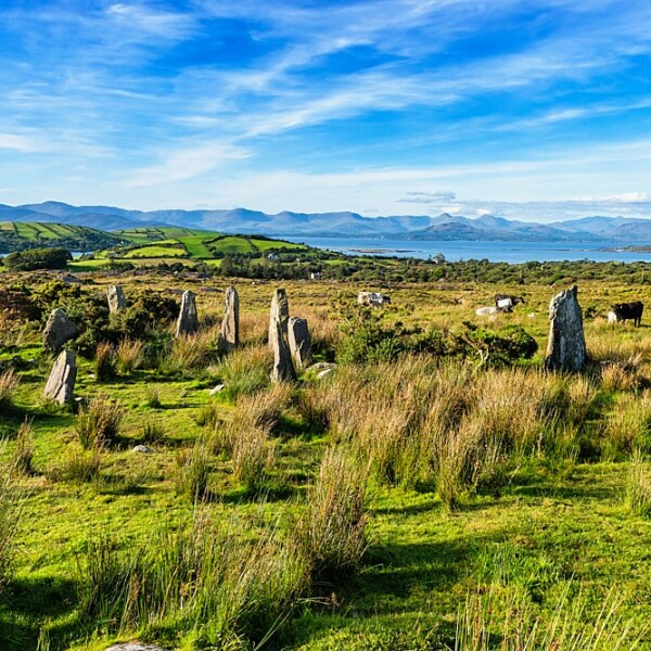 CairnCairn, unclassified · 108 yd
 Boulder-burial in Ardgroom OutwardBoulder-burial · 483 yd
 Glashananinnaun Br.Bridge · 1626 yd
 CoomacloghaneMountain / peak · 1681 yd
 Keeragh MountainMountain / peak · 1.3 mi
 Bird IslandIslet · 1.4 mi
 Cappul Bridgebridge · 1.7 mi
 Ardgroom Pulleen LoopWalking route · 2.2 mi
 Crane IslandIslet · 3.5 mi
 Beara WayWalking route · 3.7 mi
 Japanese cedarJapanese cedar · 3.9 mi
 Soft Tree-fernSoft Tree-fern · 3.9 mi
Other information
Photo: Credit not shown in the picture search · Rights wording not checked; contact us if this picture should be removed