What is recorded here
In pasture, on a S-facing slope. This slab-like standing stone (1.25m x 0.22m; H 1.35m) is roughly rectangular in plan and section and is orientated E-W. It leans slightly to the S. A large prostrate slab (0.7m x 0.1m; L 0.8m) lying at the base appears to partly support the standing stone.
The above description is derived from 'The Archaeological Inventory of County Cork. Volume 5' (Dublin: Stationery Office, 2009).
Date of upload: 22 December 2009
The monument record does not grant public access. Check the route and ask the landowner before entering private land.
- What survives
- Recorded monument
Places near here
 Cloonee FortFairy fort / earthen ringfort · 908 yd
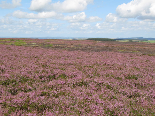 Burnt mound in DromataniheenBurnt mound · 1210 yd
 farm housefarm house · 1633 yd
 KnockboolteenaghMountain / peak · 1668 yd
 Durrus CheeseHeritage attraction · 1.1 mi
 Coomkeen Loop WalkWalking route · 1.1 mi
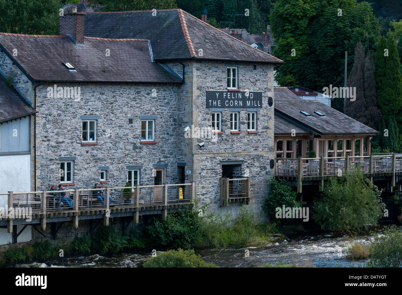 Corn MillMill, corn · 1.2 mi
 KilbreaghMountain / peak · 1.3 mi
 Coolnalong Castle (in Ruins)House, fortified house · 2.0 mi
 Barnageehy Loop WalkWalking route · 2.1 mi
 Mannion's Island (Small)Islet · 2.6 mi
 Rossmore Castle (in Ruins)Castle, tower house · 2.7 mi