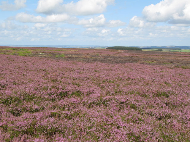
What is recorded here
An archaeological assessment, undertaken in August 2015 in advance of the construction of a
sporting facility, revealed a spread of blackened burnt material and fragmented stone in a test tench. The spread measured 17m east-west by 10m north-south and the burnt material rose to form a slight mound approximately 0.4m high at the northeastern end of the trench.
Compiled by: Matt Kelleher
Date of upload: 23 December 2015
A burnt mound; date and wider significance not recorded.
The monument record does not grant public access. Check the route and ask the landowner before entering private land.
- What survives
- Recorded monument
Places near here
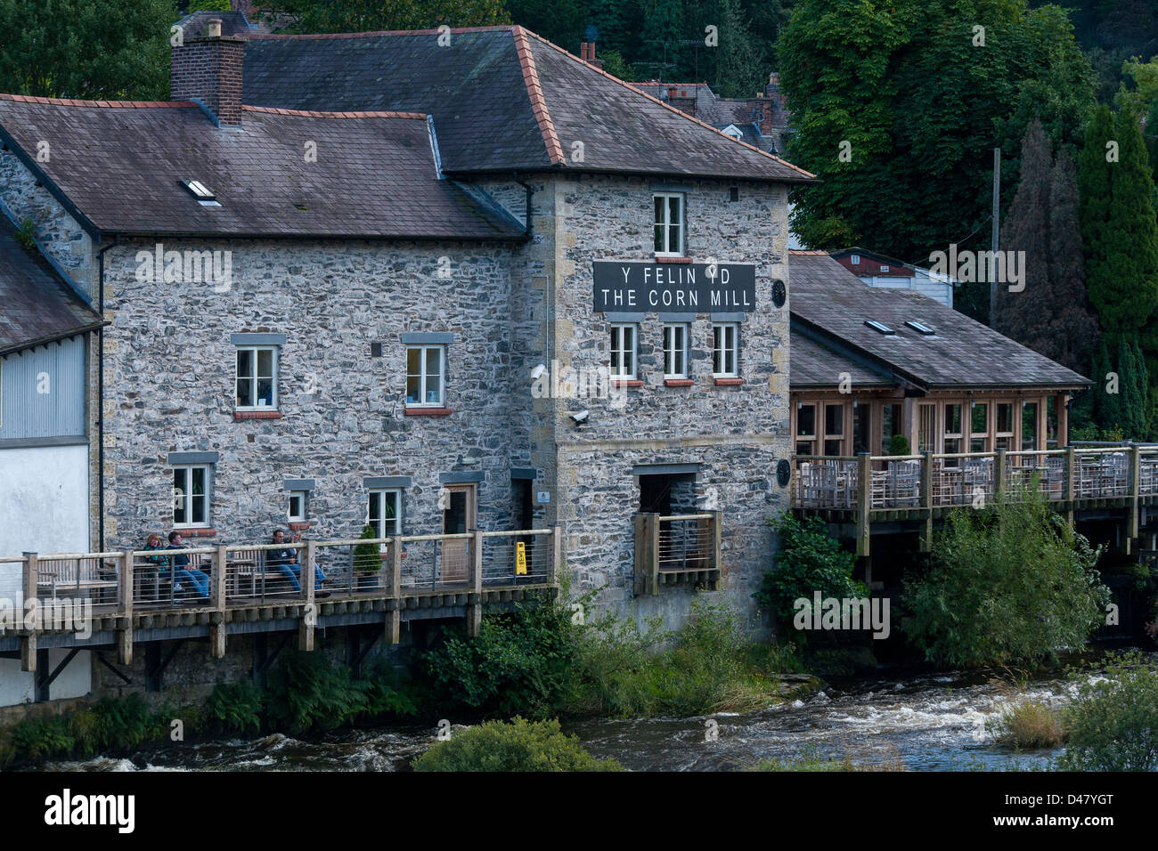 Corn MillMill, corn · 915 yd
 Sacred Heart Roman Catholic Churchchurch/chapel · 1294 yd
 Burial Ground (Disused)Burial ground · 1394 yd
 KilbreaghMountain / peak · 1583 yd
 Cloonee FortFairy fort / earthen ringfort · 1.1 mi
 Coomkeen Loop WalkWalking route · 1.2 mi
 Durrus CheeseHeritage attraction · 1.3 mi
 Coolnalong Castle (in Ruins)House, fortified house · 1.4 mi
 KnockboolteenaghMountain / peak · 1.6 mi
 Mannion's Island (Small)Islet · 2.0 mi
 Rossmore Castle (in Ruins)Castle, tower house · 2.1 mi
 Barnageehy Loop WalkWalking route · 2.2 mi
Other information
Photo: Credit not shown in the picture search · Rights wording not checked; contact us if this picture should be removed