
Places near here
Photo credits
- Kenneth Allen, Geograph · CC BY-SA 2.0
- National Inventory of Architectural Heritage
- Lisa Gallagher / Donegal Daily, www.donegaldaily.com
- Richard Webb, Geograph · CC BY-SA 2.0
 Gorey HillMountain / peak · 1542 yd
Explorer Tom Gorey Hill stands in County Donegal as a mountain peak with its access details completely unknown. The name sounds like…
 Altnapaste BridgeBridge · 1.1 mi
Explorer Tom Altnapaste Bridge is doing that three-arched thing where it looks like a goat once ruled this whole stretch of river…
 Donaldson Memorial HallChurch hall/parish hall · 1.2 mi
Explorer Tom Donaldson Memorial Hall in Aghaveagh claims to be from the time of the dinosaurs, which is bold for a building that…
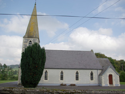 Saint John's Church of Ireland ChurchChurch/chapel · 1.2 mi
Explorer Tom Saint John's Church of Ireland Church is locked in a dramatic standoff with the nearest tree, which has grown tall…
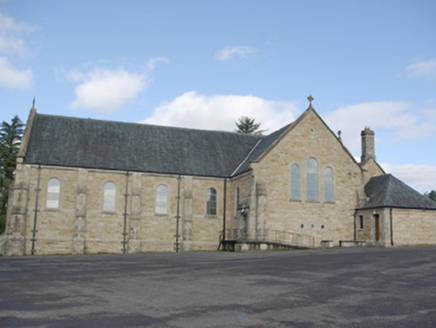 Our Lady of Perpetual HelpChurch/chapel · 1.3 mi
Explorer Tom Our Lady of Perpetual Help has a giant wooden scissor roof inside! I bet it looks like two legs doing the splits to…
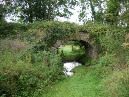 bridge1.4 mi
Explorer Tom Bridge in Kiltyfergal once carried a train across its arch, but now it just watches the quiet lanes. Built c. 1895, I…
 Glenmore LodgeOutbuilding, walled garden, dovecote/pigeon house/aviary · 1.5 mi
Explorer Tom Glenmore Lodge is hiding a scandal so big it needs a walled garden and a dovecote to keep it secret. The main house is…
 Páirc Thaobhóige, Glenfin GAAGAA ground · 1.5 mi
 rectory/glebe/vicarage/curate's house1.6 mi
Explorer Tom Rectory in Glebe had a goat once who ruled the place with an iron hoof and ate every single flower in the garden…
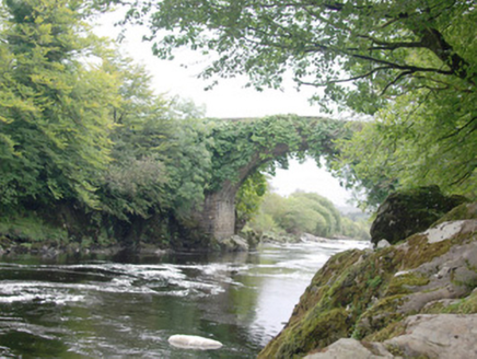 Cloghan BridgeBridge · 1.8 mi
Explorer Tom Cloghan Bridge in Gortiness is stuck in a feud with the view over who has better lighting. Its single arch is…
 AltnapasteMountain / peak · 2.2 mi
Explorer Tom Altnapaste is a mountain peak where the summit offers quartzite footing and big views. Down at its foot, however, sits…
 Teach Tábhairne an RileánPub · 3.2 mi
Explorer Tom Teach Tábhairne an Rileán in County Donegal has a mouthful of a name. Say it three times fast for me and tell me how…
More archaeology and monuments in County Donegal · All of County Donegal

What do you know about this place?Tap to add a comment or ask a question