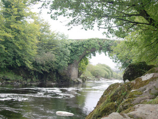
What is recorded here
Single-arched humpbacked bridge carrying road over the River Finn, built c. 1760. Segmental-headed arch with cut stone voussoirs; squared rubble stone construction to arch barrel. Squared and coursed rubble stone construction to spandrel and piers; piers built directly onto bedrock. Squared rubbles stone construction to parapets with rubbles tone coping over; parapets rise to a point in the centre of the hump. Modern blockwork sections to parapets and modern repairs in places. Tarmacadam deck. Set high above the River Finn adjacent to the Cloghan Lodge Estate (see 40906801). Located to the north-west/west of Ballybofey, and to the south of the village of Cloghan.
This impressive and elegant single-arch humpbacked bridge, of mid-to-late eighteenth century date, retains its original form and character, despite some modern alterations to the parapets, and is an appealing feature in the scenic landscape of the Finn Valley. It is robustly-constructed in local squared rubble stone masonry, and its continued survival and use stands as testament to the quality of its original construction, and of the skill of the masons involved. The single wide graceful arch and the construction of the piers directly onto the bedrock are features of some technical and engineering merit that help to elevate this bridge above many of its contemporaries. The projecting stones at the springing point to the arch are probably a leftover from the original construction and were used to support the timber framework for the arch. This bridge probably originally dates to the second half of the nineteenth century, a period that saw a great deal of road and bridge-building through Ireland, particularly by the Grand Juries (The forerunners of the county councils). It is indicated on the Taylor and Skinner road map of the area of 1777-83. The position of this bridge adjacent to Cloghan Lodge (see 40906801) suggests that its original construction may have been originally funded or partially funded by the Knox or Style families. Set in an idyllic wooded location along the Finn Valley, this noteworthy bridge is an integral element of the built heritage and transport history of the local area, and is a feature of some aesthetic quality in the rural landscape.
This does not grant access. Most recorded buildings are privately owned; view them only from public ground unless the owner allows entry.
Places near here
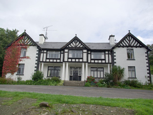 Cloghan Lodgecountry house, hunting/fishing lodge · 196 yd
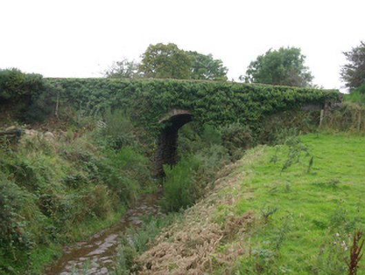 bridgebridge · 197 yd
 Altar (Site of)Penal Mass station · 995 yd
 IndicatedFairy fort / ringfort · 1172 yd
 AltnapasteMountain / peak · 1.1 mi
 Gorey HillMountain / peak · 2.7 mi
 Drumboe WoodForest recreation place · 6.3 mi
 Newmills Corn and Flax MillsHeritage attraction · 8.5 mi
 Site of Castle SollusCastle, unclassified · 8.9 mi
 Battle of Scarrifholisbattle · 8.9 mi
 Bawn in Killynure OR Wilsons FortBawn · 9.1 mi
 Meenachullion Nature ReserveNational nature reserve · 9.2 mi
Other information
Photo: National Inventory of Architectural Heritage · Website use allowed for educational or private purposes with source credit