What is recorded here
Situated on a W-E spur. Its location is marked only on the 1907 edition of the OS 6-inch map where it is described in gothic lettering as a ‘Standing Stone’. It is no longer extant and no description of it is known.
The above description is derived from the published 'Archaeological Inventory of County Monaghan' (Dublin: Stationery Office, 1986). In certain instances the entries have been revised and updated in the light of recent research.
Compiled by: Michael Moore
Date of revision: 26 February 2016
The monument record does not grant public access. Check the route and ask the landowner before entering private land.
- What survives
- Recorded monument
Places near here
 Braddocks Presbyterian Churchchurch/chapel · 914 yd
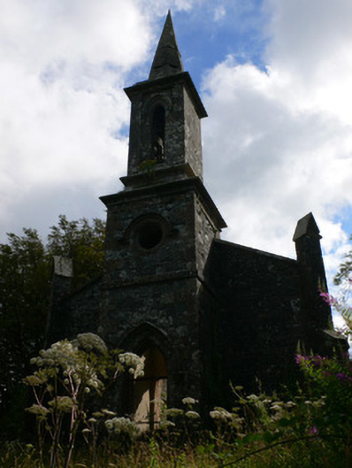 Saint Patrick's Church (Tullycorbet)church/chapel · 1.2 mi
 Lisleitrim FortFairy fort / earthen ringfort · 1.8 mi
 Man-made underground passage in Moy OtraMan-made underground passage · 1.9 mi
 Battle of ClontibretBattlefield · 2.3 mi
 Castleshane WaterfallWaterfall · 2.5 mi
 Fort HillWood · 4.6 mi
 The Rabbit BurrowWood · 4.6 mi
 Rossmore MausoleumHeritage attraction · 5.2 mi
 Bawn in Roosky (monaghan By., Monaghan Par.)Bawn · 5.2 mi
 Ailinn GiantHeritage attraction · 5.3 mi
 Rossmore MonumentMemorial · 5.3 mi