
What is recorded here
Located just S of the summit of a drumlin and described in gothic lettering on the 1907 edition of the OS 6-inch map as ‘Lisleitrim fort’. This was described in 1967 (SMR file) as a grass and scrub-covered D-shaped area (dims c. 40m ENE-WSW; 30m NNW-SSE) defined by a slight bank (Wth of base 5.6m; int. H 0.65m; ext. H 2.2m) WSW-W and a scarp (H c. 1.5m) ENE-SW but the monument had been cut by an ENE-WSW road bank at N. There was no visible fosse or identifiable original entrance, and the monument was removed during 1968.
The above description is derived from the published 'Archaeological Inventory of County Monaghan' (Dublin: Stationery Office, 1986). In certain instances the entries have been revised and updated in the light of recent research.
Compiled by: Michael Moore
Date of revision: 26 February 2018
Lisleitrim Fort is a likely early-medieval ringfort, situated on a drumlin and marked in gothic lettering on the 1907 OS map. It is described as a D-shaped, grass and scrub-covered enclosure, though no specific folklore or historical events are recorded in association with the site.
The monument record does not grant public access. Check the route and ask the landowner before entering private land.
- What survives
- Recorded monument
Places near here
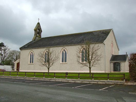 Saint Michael's Catholic Churchchurch/chapel · 466 yd
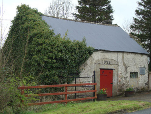 Ardaghy Forgeforge/smithy · 571 yd
 Castleshane WaterfallWaterfall · 1.8 mi
 Shanes fortFairy fort / earthen ringfort · 2.3 mi
 Man-made underground passage in Moy OtraMan-made underground passage · 2.3 mi
 Battle of ClontibretBattlefield · 3.3 mi
 Bawn in Roosky (monaghan By., Monaghan Par.)Bawn · 3.4 mi
 Rossmore MonumentMemorial · 3.5 mi
 Caldwells' WoodWood · 3.5 mi
 Rossmore MausoleumHeritage attraction · 3.5 mi
 Ailinn GiantHeritage attraction · 3.6 mi
 Liscarney WoodWood · 3.7 mi
Other information
Photo: Credit not shown in the picture search · Rights wording not checked; contact us if this picture should be removed