
What is recorded here
Situated on a fairly level landscape with a S-N mill-race c. 30m to the W. An underground passage was discovered during land reclamation c. 1990. It is described locally as an underground structure of drystone walling (H c. 1.2m; L c. 1.8m) covered by large lintels. It came to light again c. 1995 but had been covered over and an electricity pole placed over it by the time NMS could investigate it. (SMR file)
Date of upload: 14 April 2011
The monument record does not grant public access. Check the route and ask the landowner before entering private land.
- What survives
- Recorded monument
Places near here
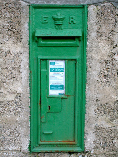 post boxpost box · 169 yd
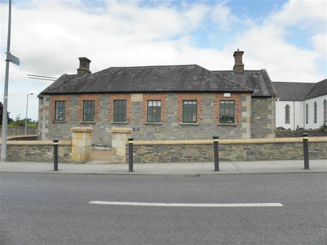 Moys National Schoolschool · 181 yd
 IndicatedEnclosure · 934 yd
 frotFairy fort / earthen ringfort · 1212 yd
 Battle of ClontibretBattlefield · 1.0 mi
 Castleshane WaterfallWaterfall · 1.4 mi
 Caldwells' WoodWood · 4.2 mi
 Liscarney WoodWood · 4.4 mi
 Bawn in Roosky (monaghan By., Monaghan Par.)Bawn · 5.0 mi
 Rossmore MonumentMemorial · 5.1 mi
 Monaghan County MuseumMuseum · 5.1 mi
 LisnaspeenanMountain / peak · 10 mi
Other information
Photo: Credit not shown in the picture search · Rights wording not checked; contact us if this picture should be removed