What is recorded here
Located on a gentle S-facing slope in the E foothills of the Blackstairs Mountains. It is looking across a small col at Cloroge More hill to the S. This is a granite stone with a roughly rectangular cross-section at the base (dims 0.77m x 0.4m), but it was damaged in antiquity as large pieces have probably been removed from the W side of the stone and it now achieves its maximum height (H 0.95m) at the NE angle. It was first reported by Byron Jones.
See attached photograph by Séamus Ó Murchú, 2016
Compiled by: Michael Moore
Date of upload; 8 September 2020
The monument record does not grant public access. Check the route and ask the landowner before entering private land.
- What survives
- Recorded monument
Places near here
 Clorogue BegMountain / peak · 1152 yd
 Structure in Cloroge MoreStructure · 1700 yd
 IndicatedEnclosure · 1.0 mi
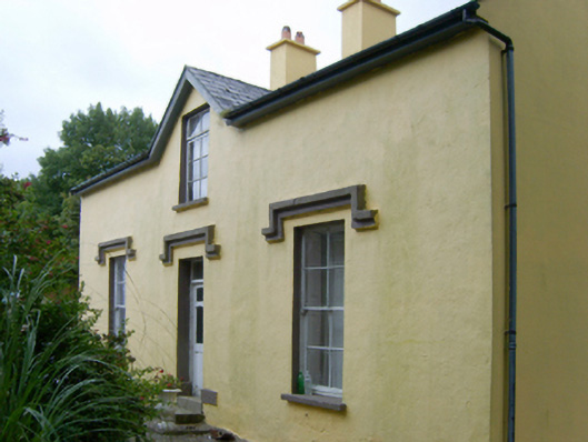 farm housefarm house · 1.1 mi
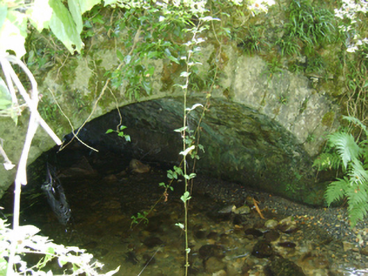 Cloroge Bridgebridge · 1.2 mi
 KnockroeMountain / peak · 1.4 mi
 Mount LeinsterMountain · 2.2 mi
 Irish Hangliding and Paragliding AssociationMemorial · 2.3 mi
 Coonogue WoodForest · 2.9 mi
 St Bridget's WellSpring · 3.8 mi
 1798 MemorialMemorial · 4.6 mi
 Pedunculate OakPedunculate Oak · 5.0 mi