What is recorded here
On a NE-facing slope. This is a coarse limestone upright (dims 0.9-0.95m WNW-ESE; 0.65-0.7m NE-SW; max. H 1.5m) with a blunt pointed top.
Compiled by: Michael Moore
Date of upload: 24 August 2010
The monument record does not grant public access. Check the route and ask the landowner before entering private land.
- What survives
- Recorded monument
Places near here
 Burnt spread in Bellanamullia (athlone South By.)Burnt spread · 437 yd
 IndicatedChurch · 1092 yd
 KilnKiln, corn-drying · 1.2 mi
 Sweathouse in MihanboySweathouse · 1.4 mi
 Dead Man's IslandIslet · 2.0 mi
 Crib IslandIslet · 2.2 mi
 Siege of Athlonesiege · 2.4 mi
 Hodson's BayBay · 2.6 mi
 Bastion GalleryGallery · 2.7 mi
 Historic Town - Athlone Castle & Church of St Peter and PaulVisitor information · 2.7 mi
 Luan GalleryGallery · 2.7 mi
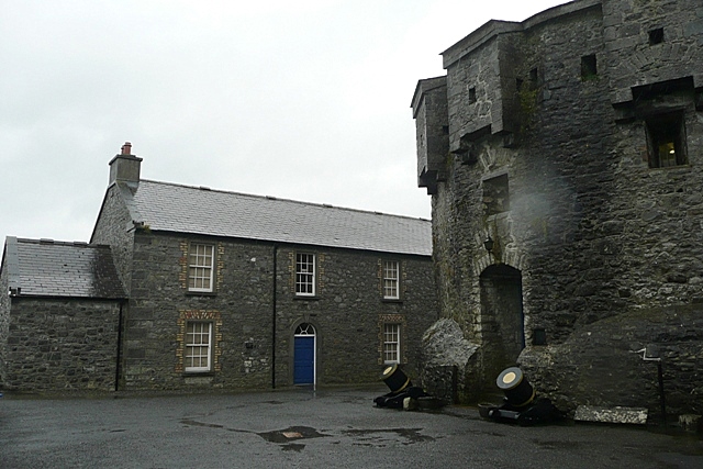 CastleCastle, unclassified · 2.8 mi