
What is recorded here
On a low-lying landscape. Monitoring of a pipe trench exposed a layer of ash, charcoal and burnt soil (L 7m; T 0.1-0.9m) which was completely excavated (99E0014) and produced a C14 date of 335-290 BC (Byrne 2000, 2002).
Compiled by: Michael Moore
Date of upload: 24 August 2010
The monument record does not grant public access. Check the route and ask the landowner before entering private land.
- What survives
- Recorded monument
Places near here
 IndicatedChurch · 952 yd
 KilnKiln, corn-drying · 1727 yd
 Sweathouse in MihanboySweathouse · 1.2 mi
 Field system in Barry BegField system · 1.9 mi
 Dead Man's IslandIslet · 2.2 mi
 Crib IslandIslet · 2.5 mi
 Siege of Athlonesiege · 2.5 mi
 Bastion GalleryGallery · 2.7 mi
 Historic Town - Athlone Castle & Church of St Peter and PaulVisitor information · 2.8 mi
 Luan GalleryGallery · 2.8 mi
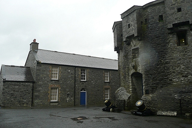 CastleCastle, unclassified · 2.8 mi
 Hodson's BayBay · 2.9 mi
Other information
Photo: Credit not shown in the picture search · Rights wording not checked; contact us if this picture should be removed