What is recorded here
From the National Monuments Service (Archaeological Survey of Ireland) record RO049-013001
Places near here
Photo credits
- National Inventory of Architectural Heritage
- Peter Gerken, Wikimedia Commons · CC BY-SA 2.0
- Maker not stated on source page, ru.pinterest.com
- Graham Horn, Geograph · CC BY-SA 2.0
- Pat Byrne, Geograph · Creative Commons Attribution-ShareAlike 2.0
- PatWhelehan, Wikimedia Commons
 beacon679 yd
Explorer Tom The Ballyglass beacon does weird things when nobody is looking, like pretending to be a very confused rock that just…
 Siege of AthloneSiege · 1.2 mi
Explorer Tom Another Siege of Athlone event is telling the place that replaced it to stop acting so modern, as if concrete is…
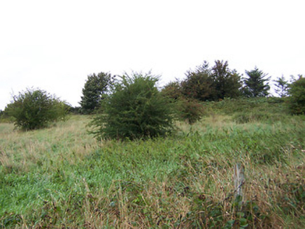 battery1.3 mi
Explorer Tom Battery in Ranelagh has a fairy dispute over parking rights that has been going on for two hundred years. It was built…
 Stone head in Barry MoreStone head · 1.4 mi
Explorer Tom Stone head in Barry More would tell you after a few pints that it actually saw the Titanic sink from a hill in County…
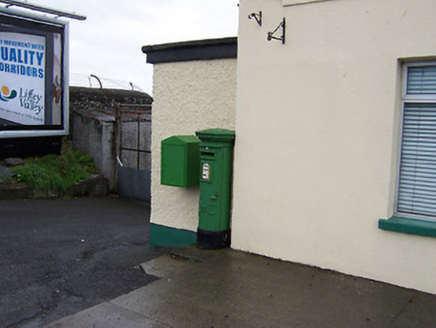 post box1.5 mi
Explorer Tom Post box in Bogganfin is sitting on Galway Road looking like it’s waiting for a letter that hasn’t arrived since the…
 bridge1.5 mi
Explorer Tom Bridge in Bogganfin holds a fake world record for being the most stubbornly stationary structure you will ever see on a…
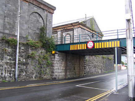 Athlone Midland Railway StationStore/warehouse · 1.5 mi
Explorer Tom Everyone asks this goods shed if it still smells like old coal, which is driving it absolutely mad. It’s part of a…
 Custume BarracksSports hall/centre/gymnasium · 1.7 mi
Explorer Tom Custume Barracks is writing 'military chic, good lift' on its dating profile and honestly? It’s a winner. The octagonal…
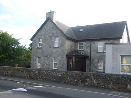 Fort HillHouse · 1.7 mi
Explorer Tom Fort Hill in Bellaugh sits up high pretending it’s a fortress, but it’s really just a house that likes to flex its…
 CastleCastle, unclassified · 2.0 mi
Explorer Tom Cox's Castle in Athlone makes a weird groaning sound at night, probably because it’s thinking about its past life. It…
 WeirWeir, fish · 2.0 mi
Explorer Tom Weir is a fish trap that has a very devoted, imaginary fan club of medieval monks who just couldn’t stop bragging about…
 Burgess ParkPark · 2.3 mi
Explorer Tom Burgess Park gives Athlone a green stretch on the east bank of the River Shannon, with paths and a playground close to…
More archaeology and monuments in County Roscommon · All of County Roscommon

What do you know about this place?Tap to add a comment or ask a question