
What is recorded here
From the National Monuments Service (Archaeological Survey of Ireland) record OF012-008
Places near here
Photo credits
- National Inventory of Architectural Heritage
- Maker not stated on source page, www.alamy.com
- JP, Wikimedia Commons · CC BY-SA 2.0
- Royalcanalrunner, Wikimedia Commons · CC BY-SA 4.0
- Derek Usher, Wikimedia Commons · CC BY-SA 4.0
- Dougbermingham ( talk ) ( Uploads ), Wikimedia Commons · CC0
- Maker not stated on source page, commons.wikimedia.org
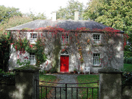 farm house1122 yd
Explorer Tom Farm house in Drumcooly was built after their old home got blown away by The Big Wind. It would win a county fair for…
 Mapped cemeteryCemetery · 1.0 mi
Explorer Tom Mapped cemetery in County Offaly would tell its younger self to stop worrying about the moss growing so thickly over…
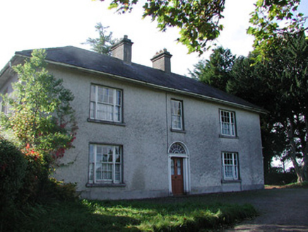 Drumcooly ParkHouse · 1.1 mi
Explorer Tom Drumcooly Park is a modest farmhouse standing at a right angle to the road like it’s waiting for a bus that isn’t…
 Blundell AqueductAqueduct · 1.1 mi
Explorer Tom Blundell Aqueduct would win a county fair by simply carrying water over a road and acting smug about it. It’s the only…
 milestone/milepost1.3 mi
Explorer Tom This milestone in Drumcooly is triangular so both sides of the canal can see its numbers. In a zombie attack, it would…
 Downshire BridgeBridge · 1.3 mi
Explorer Tom Downshire Bridge in Edenderry is the only one of its kind on the canal, designed for horses and pedestrians who don’t…
 Colgans BridgeBridge · 1.6 mi
Explorer Tom Colgans Bridge sits on what was once a busy stretch of the Grand Canal, now mostly just busy with ducks. It opened in…
 Saint Mary's CemeteryGraveyard/cemetery · 1.7 mi
Explorer Tom Saint Mary's Cemetery has tree-lined avenues that make you feel like you’re entering a secret club for the very dead.…
 post box1.7 mi
Explorer Tom Post box in Edenderry claims a local bloke invented it, which is a stretch given the Athy founders. It has fancy Celtic…
 cross1.7 mi
Explorer Tom Cross in Edenderry stands there looking righteous while the chipper sells greasy fries just down the road. It probably…
 Blundell Castle (in ruins)Castle, tower house · 1.8 mi
Explorer Tom Blundell Castle in Edenderry has a curse that only hits people who forget to wave hello. It’s half a building but…
 Site of CastleCastle, unclassified · 2.6 mi
Explorer Tom Site of Castle at Clonkeen refuses to fall down because it has an ego issue. It’s been sitting there smugly since the…
More archaeology and monuments in County Offaly · All of County Offaly

What do you know about this place?Tap to add a comment or ask a question