What is recorded here
Situated in reclaimed pasture , on the gentle S slope of a hillock (just below the summit), in flat terrian punctuated by low hills. The standing stone is not marked on the 1st (1840) or 2nd (1904) ed. OS 6-inch maps but is mentioned by Stout (1984, 46). Situated in a roughly circular hollow (diam. 3.7-4m; D 0.26m) which has been created by cattle erosion. The stone is aligned N-S and is composed of sandstone with some quartz visible. The W face is split though not completely level while the E face is fairly flat with much natural scoring on its surface. The stone is splitting down the middle from the top. It is rectangular in plan (H 1.2m; 0.24 x 0.88m) with a round head and straight sides giving a 'headstone' profile. No packing-stones evident. The Schools Manuscripts record 'a great warrior was buried under this stone' (Stout 1984, 46), however, according to the landowner the stone was erected some generations ago as a scratching post for cattle.
The above description is derived from 'The Archaeological Inventory of County Tipperary. Vol. 1 - North Tipperary' compiled by Jean Farrelly and Caimin O'Brien (Dublin: Stationery Office, 2002). In certain instances the entries have been revised and updated in the light of recent research.
Date of upload/revision: 22 September 2008
The monument record does not grant public access. Check the route and ask the landowner before entering private land.
- What survives
- Recorded monument
Places near here
 Enclosure in ClonakennyEnclosure · 195 yd
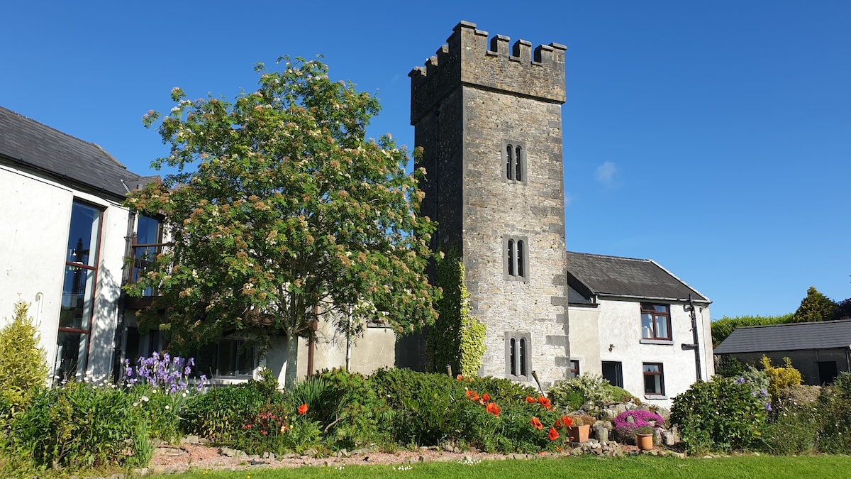
 Castle (in ruins)House, fortified house · 751 yd
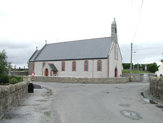 Saint Brigid's Catholic Churchchurch/chapel · 870 yd
 Killough Grave Yard (Disused)Ecclesiastical enclosure · 1748 yd
 Fortescuecottage ornee · 1.2 mi
 Longford WoodForest · 1.4 mi
 OutlinedCastle, Anglo-Norman masonry castle · 2.4 mi
 College HillMountain / peak · 2.7 mi
 BenduffMountain / peak · 3.8 mi
 Carricknasrock WoodWood · 4.5 mi
 Thomas MacDonagh Heritage CentreMuseum · 10 mi
 MacDonagh HouseMemorial · 10 mi