What is recorded here
The official Northern Ireland record identifies this as STANDING STONE. Recorded period: PREHISTORIC; UNCERTAIN. The official map point was placed at the centre of the recorded archaeological site from the source map reference.
Likely dating to the Neolithic or Bronze Age, this standing stone may have served a ceremonial, astronomical, or territorial function. No specific folklore or detailed meaning is recorded for this site.
The monument record does not grant public access. Check the route and ask the landowner before entering private land.
- What survives
- Recorded monument
Places near here
 St John’s Church of IrelandChurch · 1631 yd
 ENCLOSURE in GortmessanENCLOSURE · 1683 yd
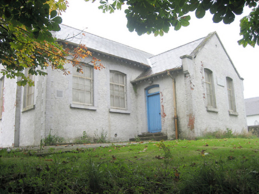 schoolschool · 1.1 mi
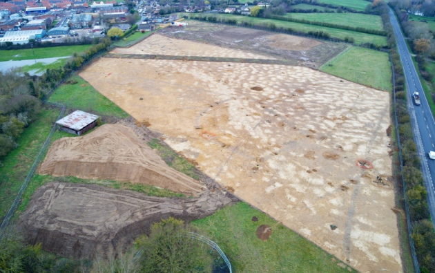 Prehistoric occupation site (comprising burnt mounds, burnt spreads, timber remains and enclosure) in SollusPrehistoric occupation site (comprising burnt mounds, burnt spreads, timber remains and enclosure) · 1.2 mi
 Mongavlin CastleHouse, fortified house · 1.5 mi
 CastleCastle, unclassified · 1.9 mi
 Gortmonly HillMountain / peak · 2.2 mi
 BATTLE SITE: BATTLE OF THE FORDS, Northern crossing, 1689 in Ballydonaghy; Greenlaw; LeckpatrickBATTLE SITE: BATTLE OF THE FORDS, Northern crossing, 1689 · 3.4 mi
 Feddyglass WoodWood · 4.8 mi
 Curryfree HillMountain / peak · 4.8 mi
 Prehen WoodsForest · 5.5 mi
 Foyle Valley Railway MuseumMuseum · 6.5 mi